

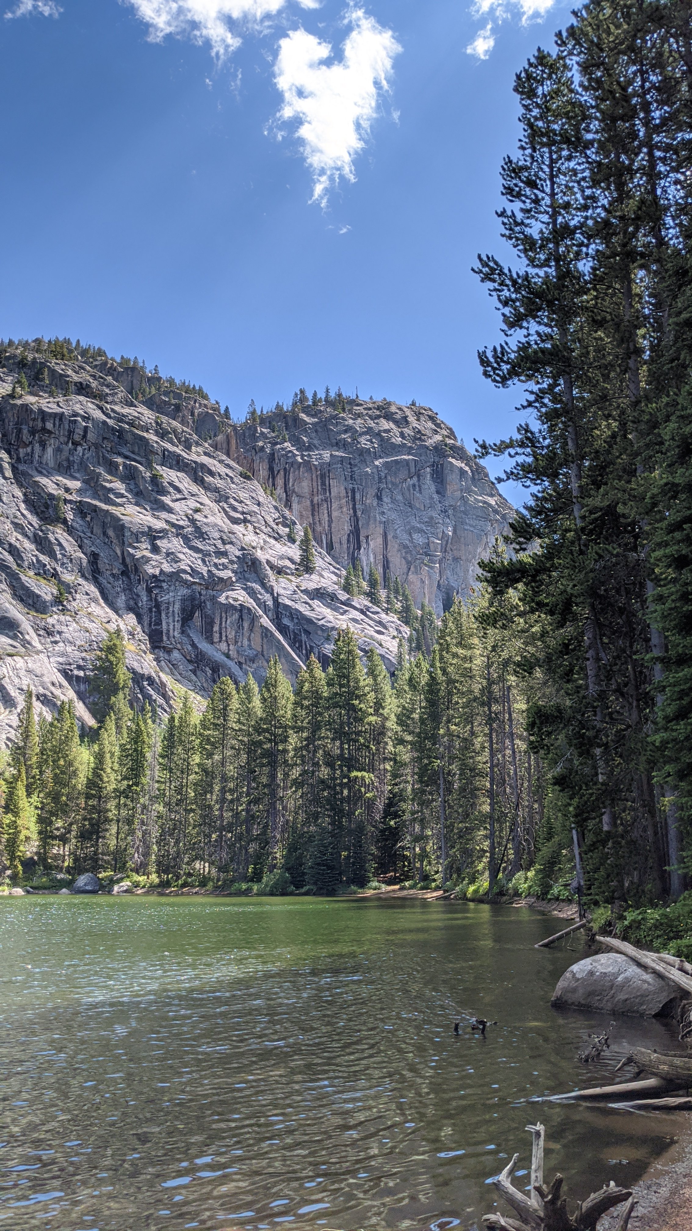
Lake Kathleen
Under three acres five miles up the East Fork of the Boulder, and the last easy walking before the Columbine junction. No FWP entry exists for it.
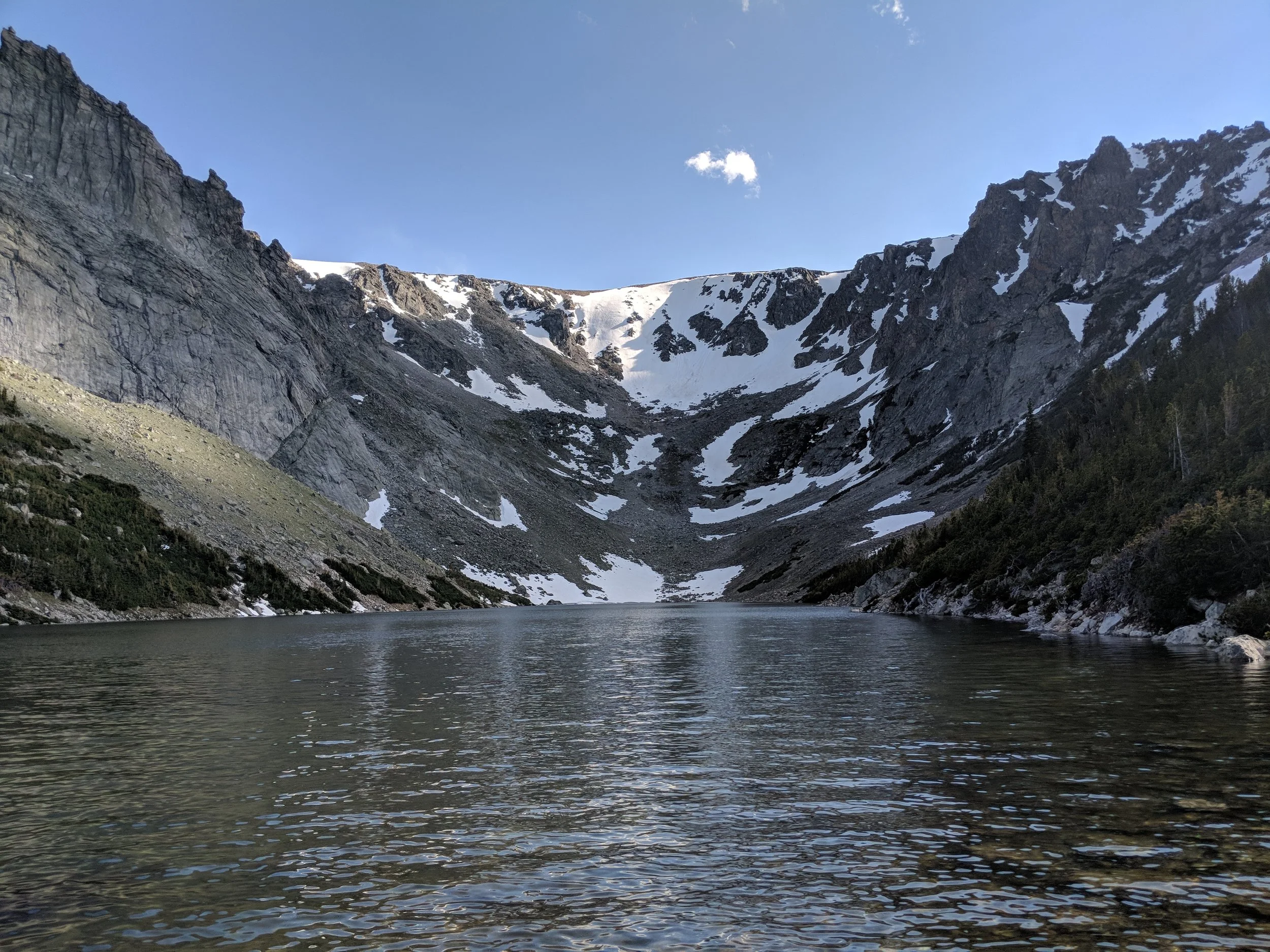
Sylvan Lake
Montana's golden trout brood lake, where the state takes eggs to stock the rest of the range. A little over five miles on trail from East Rosebud.
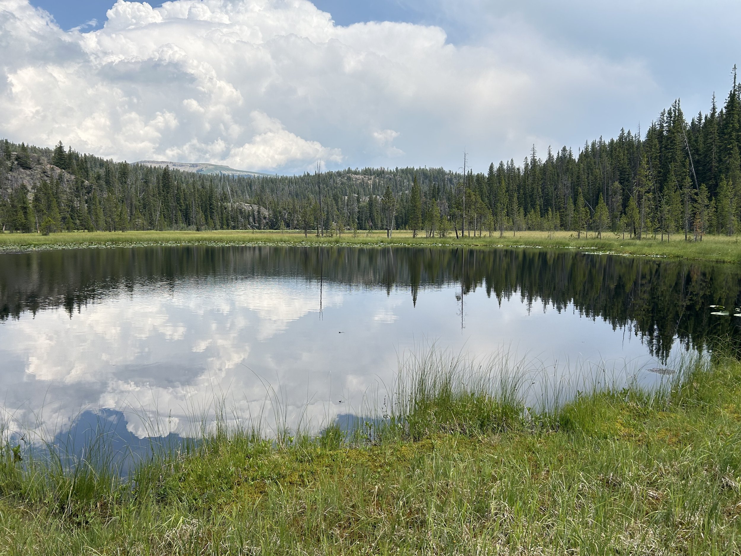
Gander Lake
Seventeen acres at 8,310 feet, the far end of the off-trail loop above Lake Creek. Half a mile past Threebay on the map and two hours on the ground.
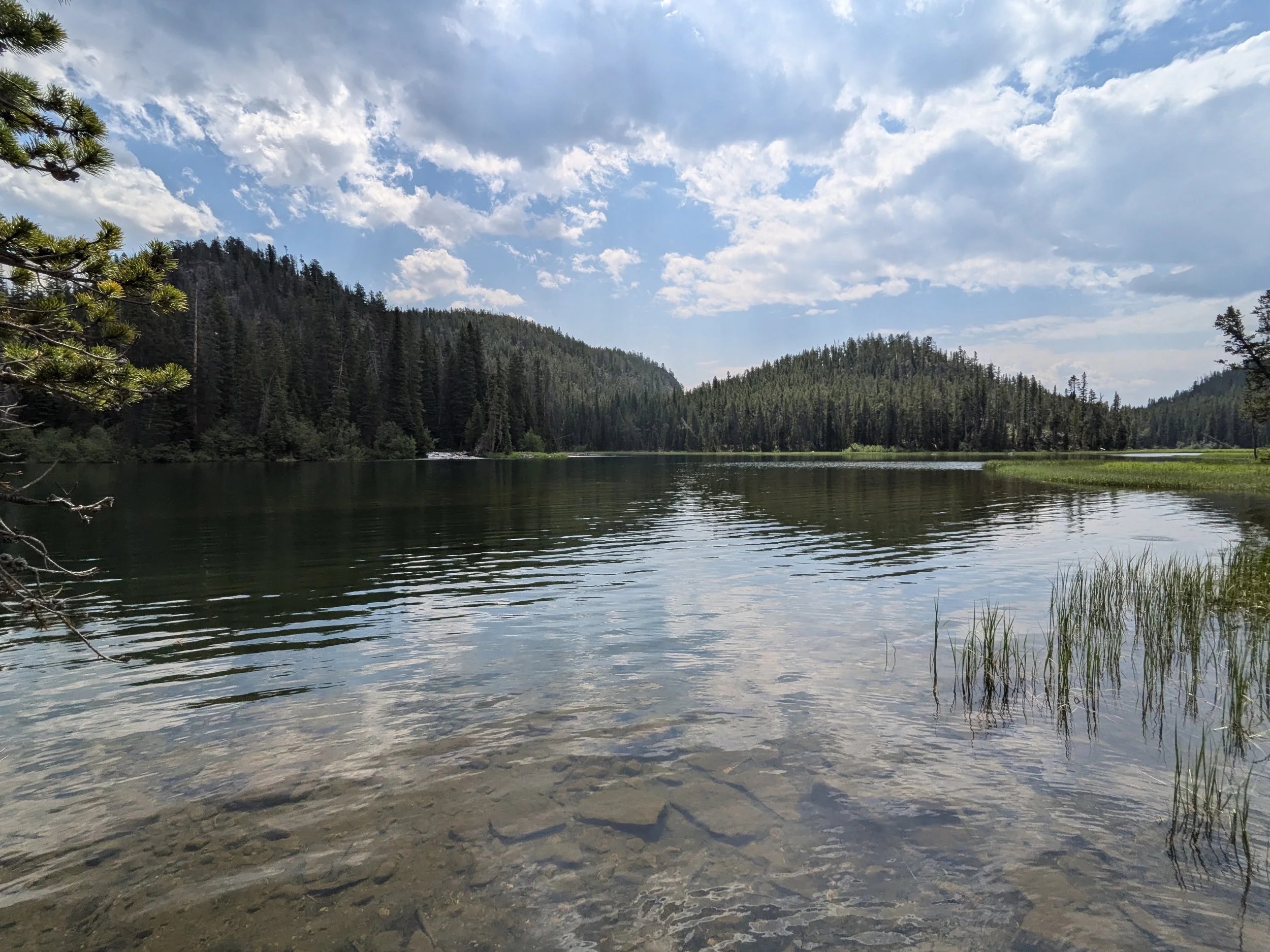
Threebay Lake
Seventeen acres at 8,326 feet, half an hour off trail southeast of Lost Lake. No fish record, and mosquitoes that ran us off.
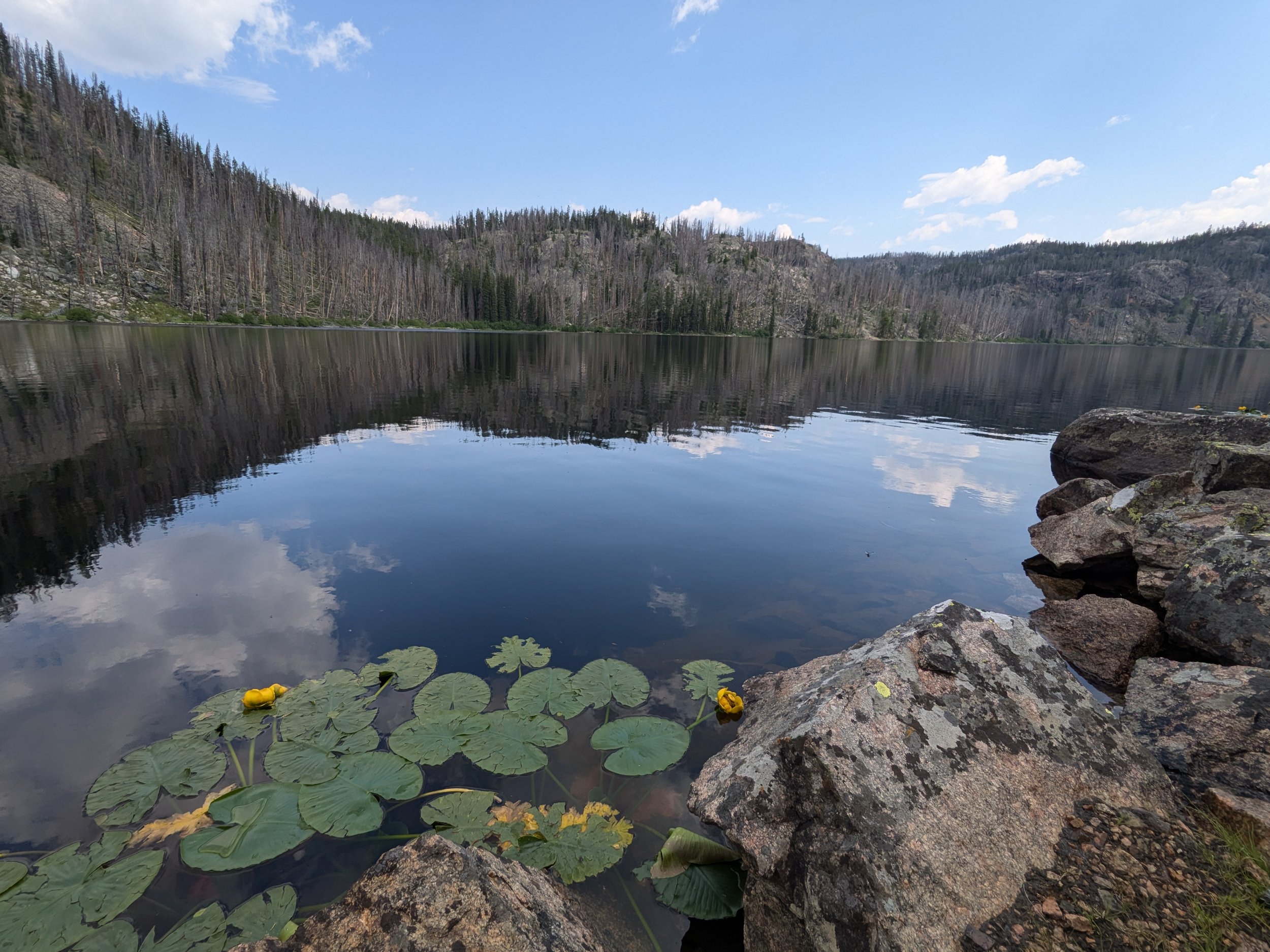
Lost Lake (Clarks Fork, WY)
Thirty-six acres for an hour's walk on trail from the Lake Creek trailhead. Yellowstone cutthroat, and the worst mosquitoes we have run into.
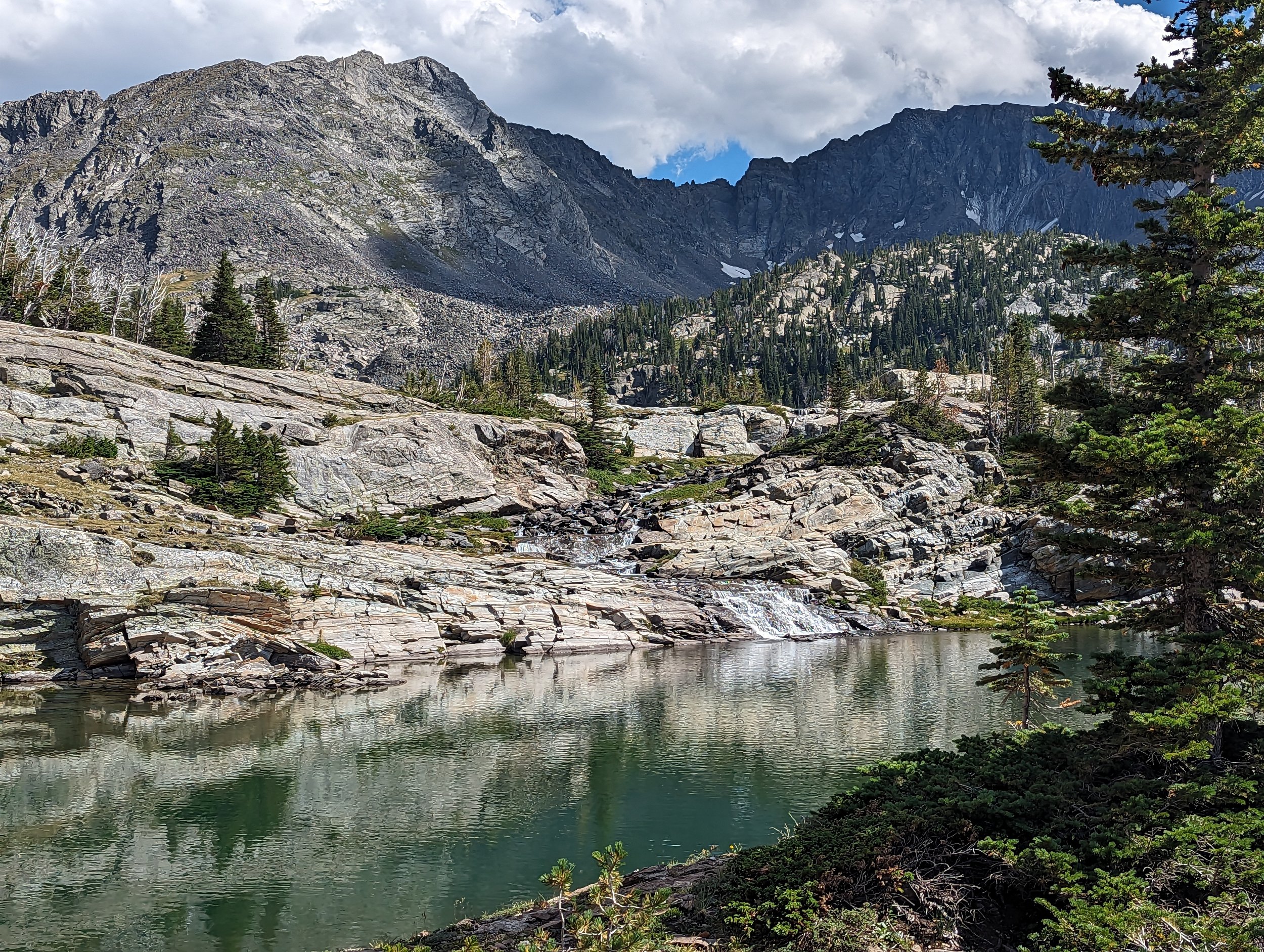
Jewel Lake
The middle of three lakes on Pine Creek Trail, at 8,982 feet. Most guides carry one Jewel Lake; there are two, with a falls between them.
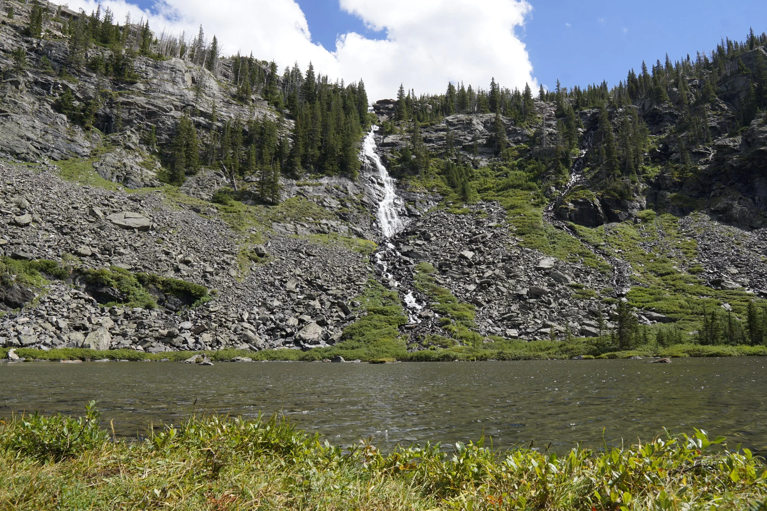
Jewell Lake
The lowest of the three lakes on Pine Creek Trail, at 8,620 feet. Above it the ground stands up on a 49 percent grade past Jewel Lake Falls.
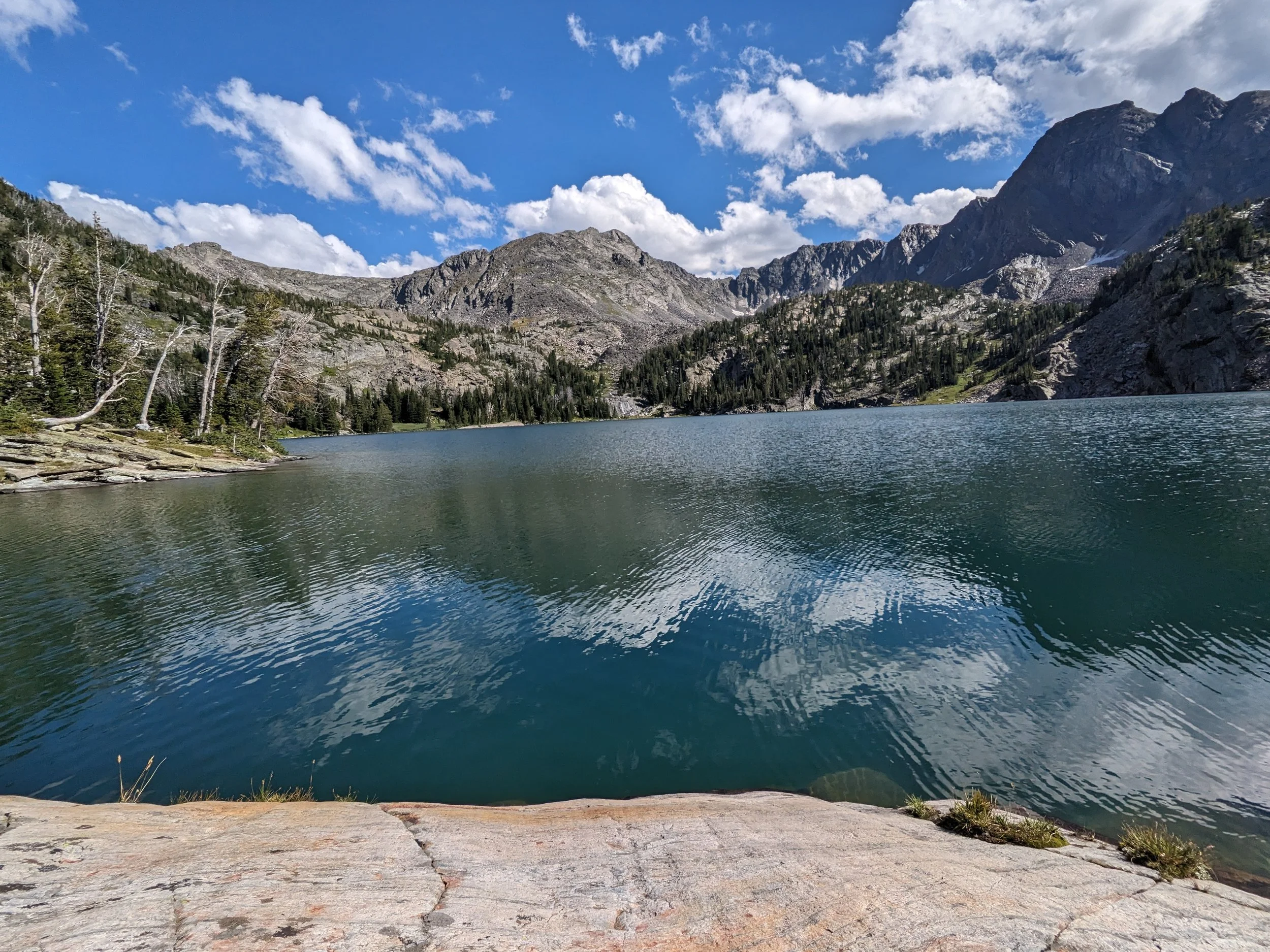
Pine Creek Lake
Six hours and twenty minutes up from Paradise Valley, 170 feet deep, sitting on the divide at 9,032 feet. Good camping, and the busiest trail we have walked in this range.
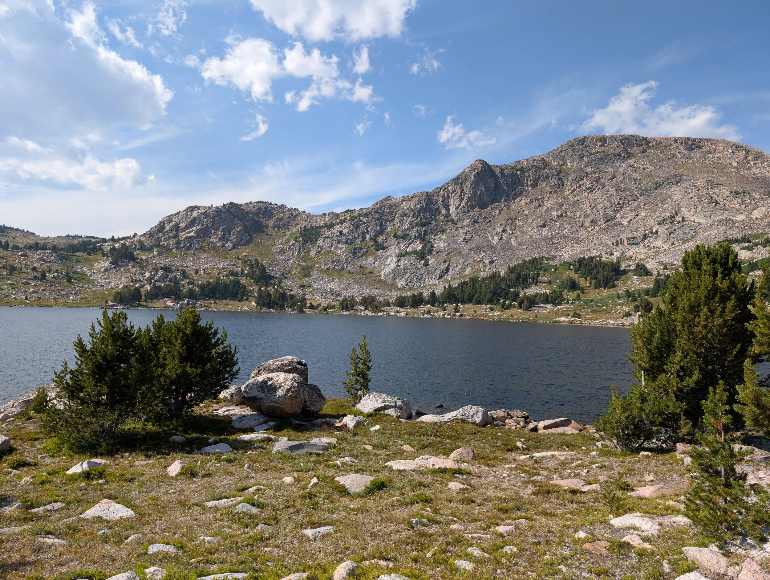
Upper Sheepherder Lake
The bigger and higher of the two Sheepherder lakes, and the one most maps label simply Sheepherder. About an hour and a half in on a use trail.
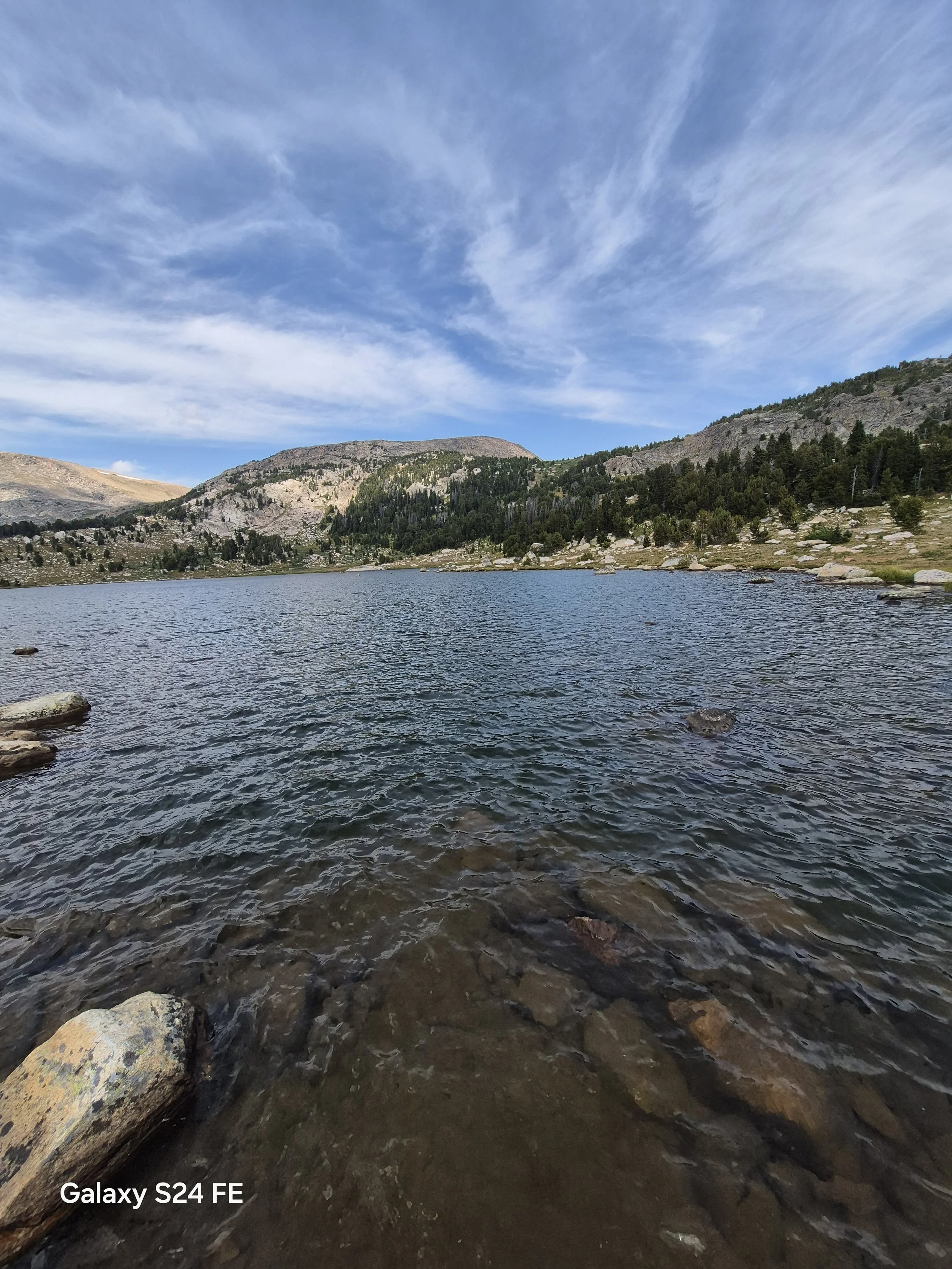
Lower Sheepherder Lake
The bigger of the two Sheepherder lakes and the first one you reach, about forty minutes in on a use trail off the Beartooth Highway.
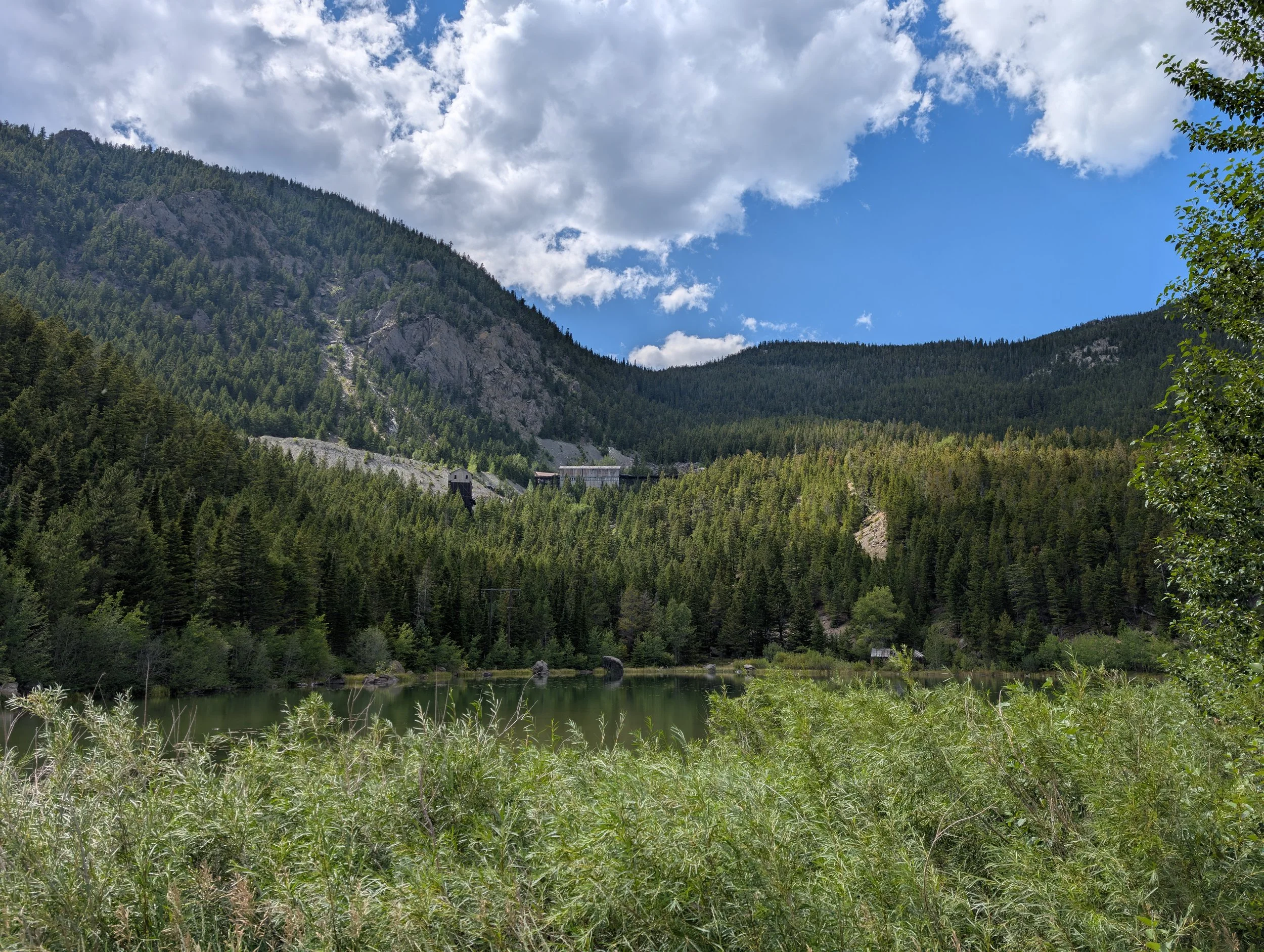
Mountain View Lake
A mile and a half straight up the creek above the Stillwater mine settling ponds, and 1,500 feet of it. Know your property lines before you go.
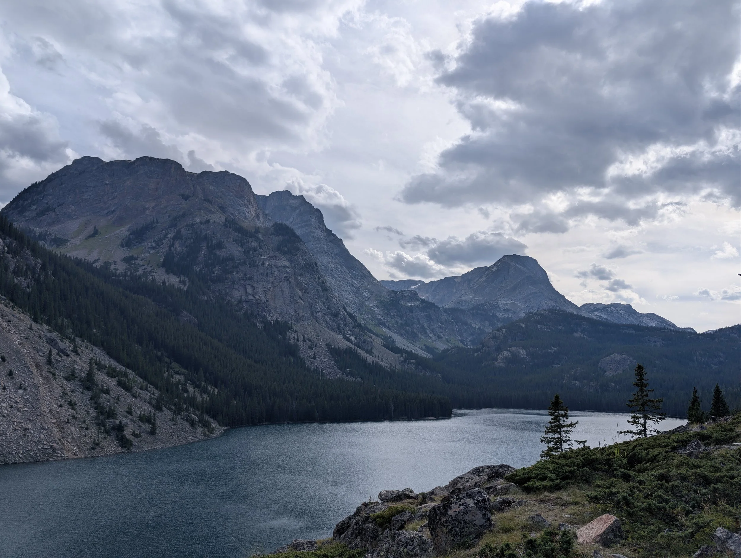
Rainbow Lake (East Rosebud)
The fourth lake up the East Rosebud and 180 feet deep. Where most people stop, where most of the camping is, and about a mile farther than the sign suggests.
Rimrock Lake
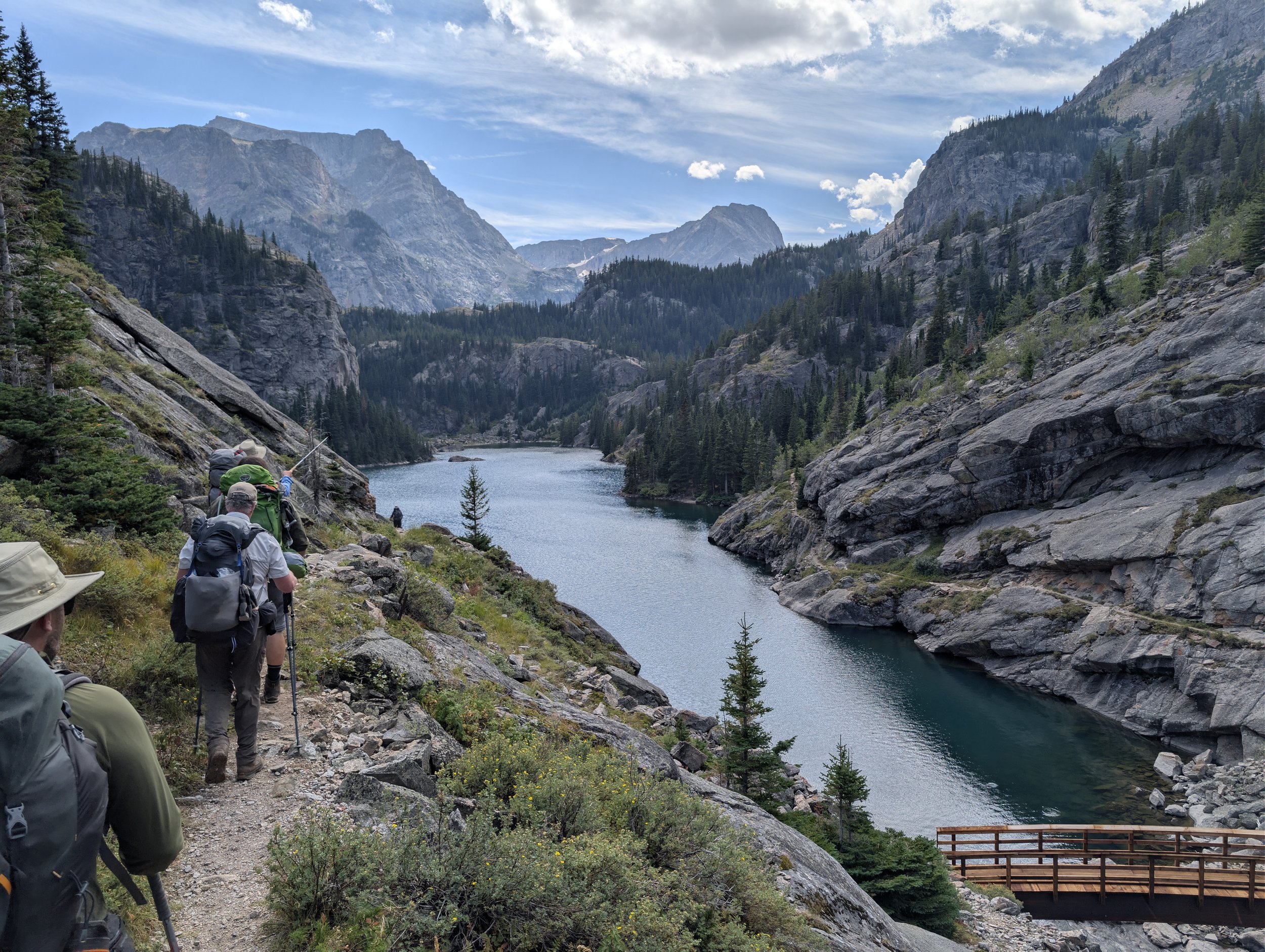
The third lake up the East Rosebud and the first real one, held in a narrow steep-sided valley. Colorful self-sustaining hybrids and a swim worth stopping for.
Elk Lake (East Rosebud)
The first lake up the East Rosebud, a bit over three miles on good trail. Easy camping and abundant small brookies, but after the flood this is a wide spot in the river you could wade across.
East Rosebud Lake
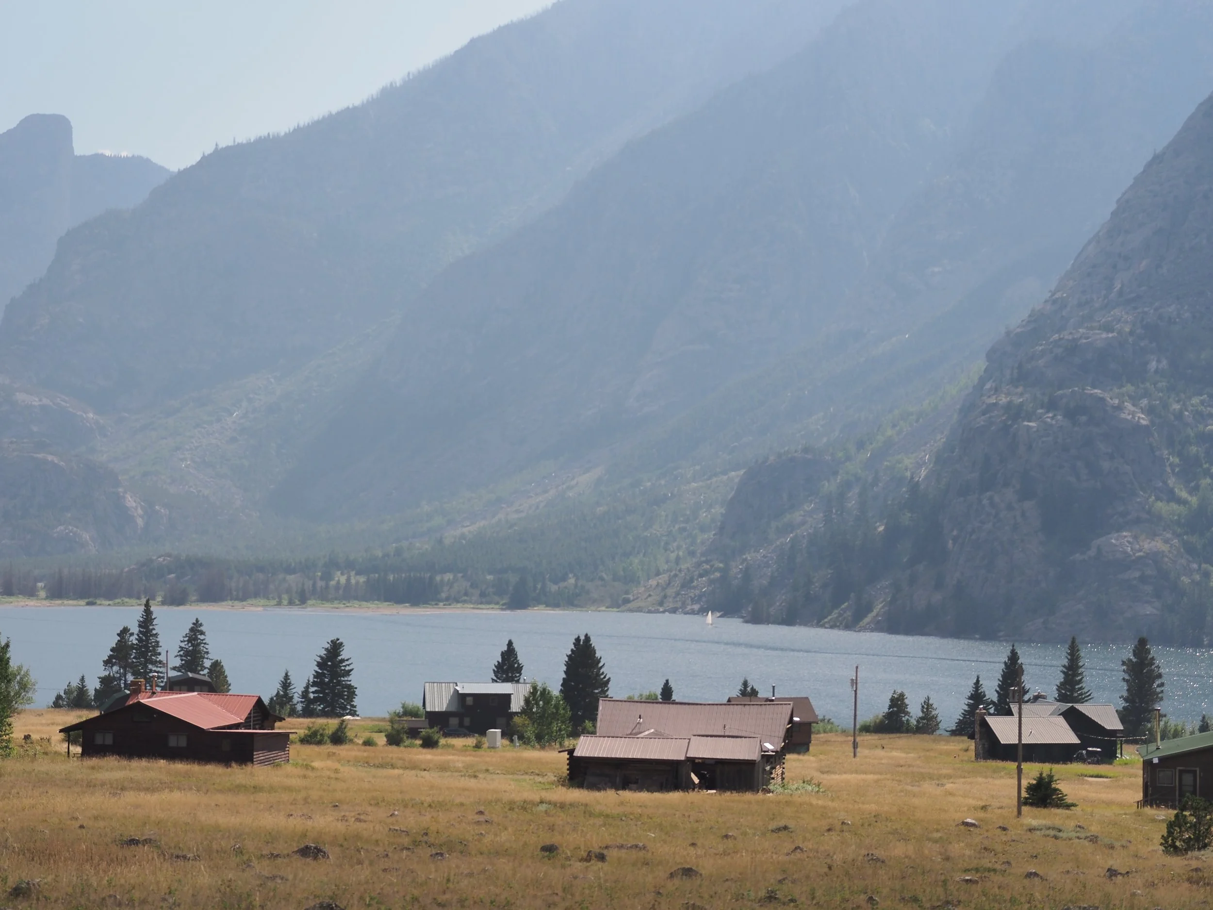
The drive-to lake at the mouth of the East Rosebud, and the trailhead for every lake above it. Shallow, easy to reach, and holding brown trout past 25 inches.
Rush Lake
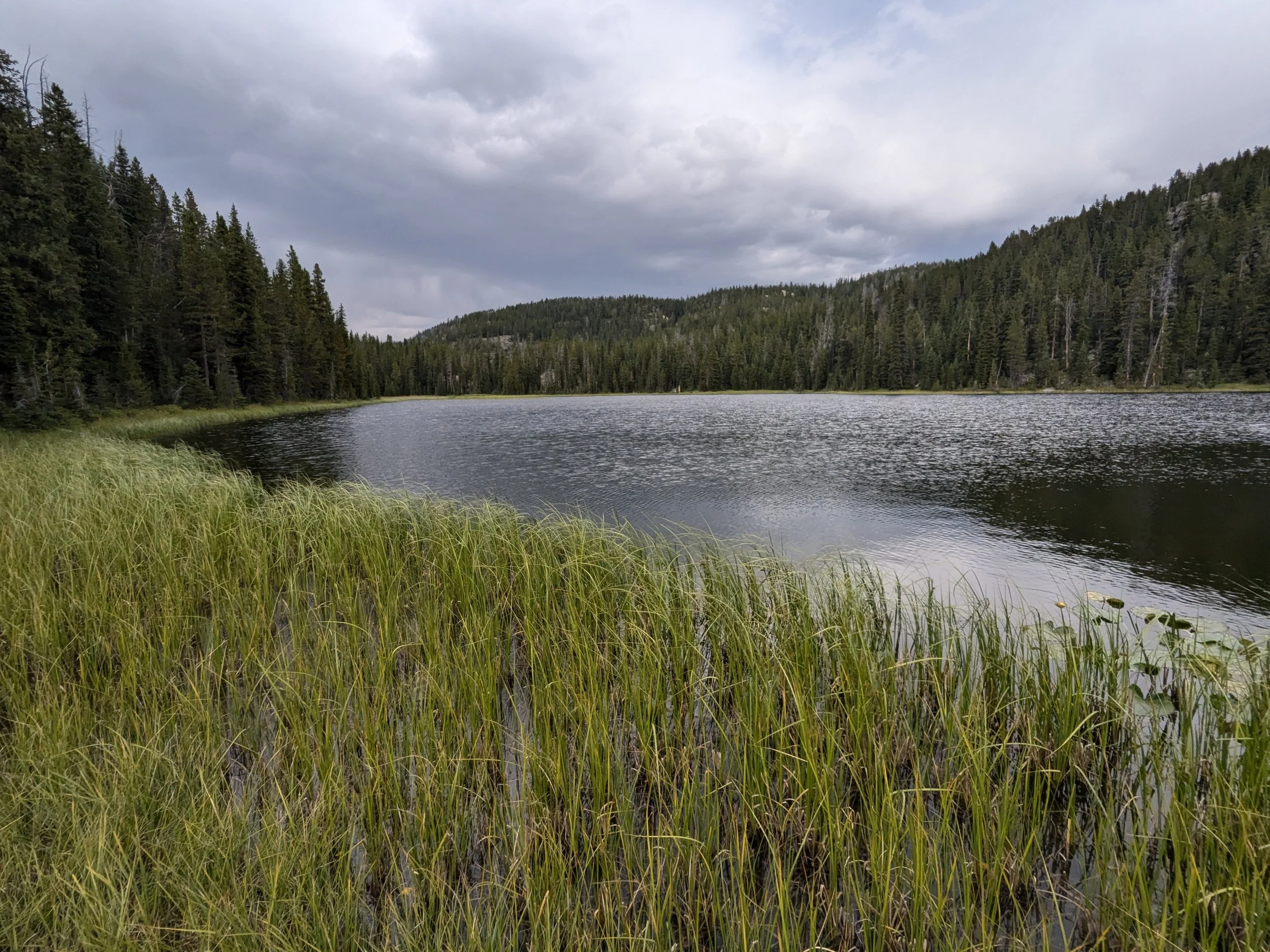
The last lake on the walk out to Clay Butte, and the published coordinates put it a mile from where it actually sits.
Elk Lake (Clarks Fork, WY)
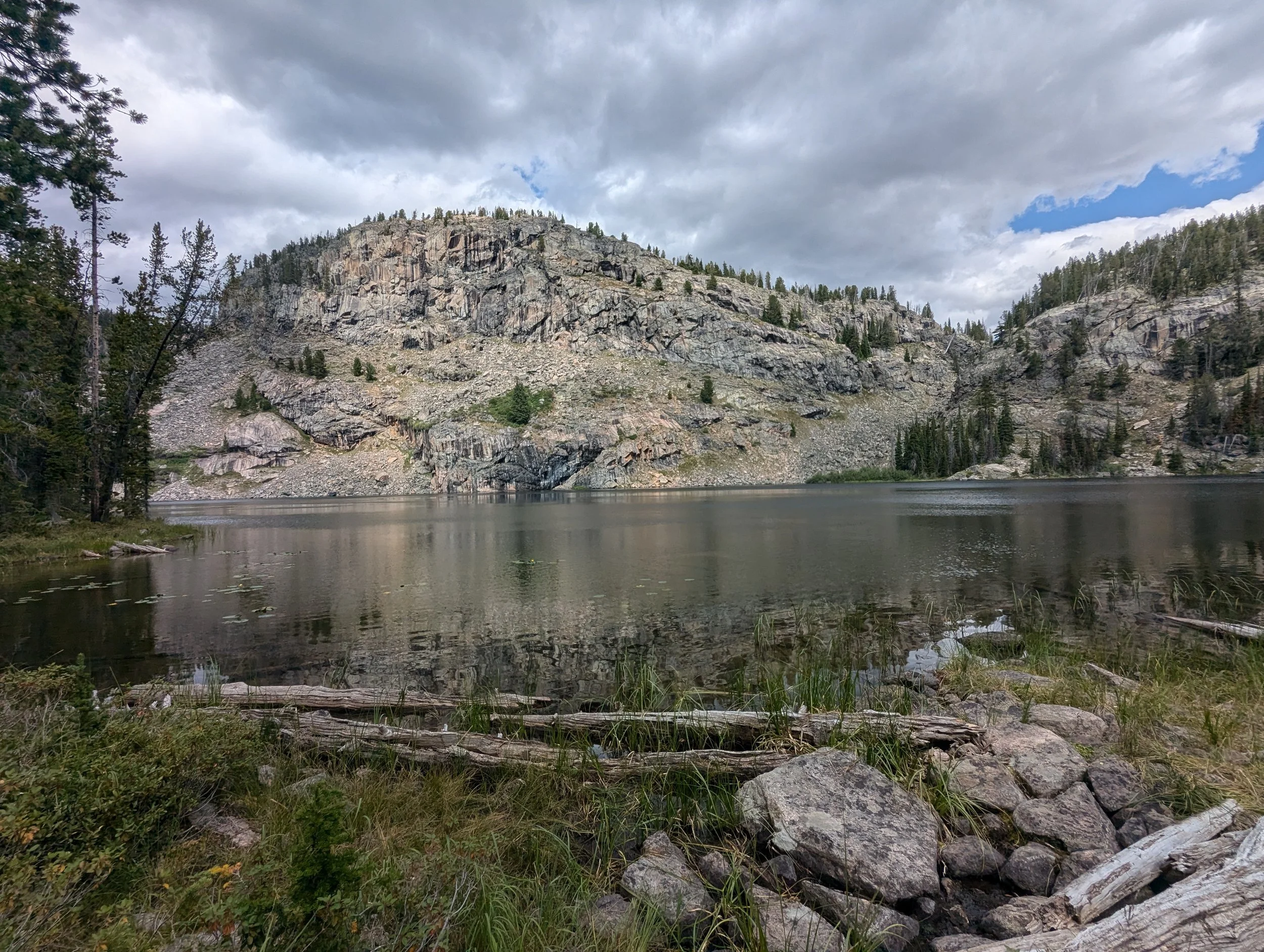
There is a trail to it that the maps do not show, and the published coordinates put it two and a half miles from where it actually is.
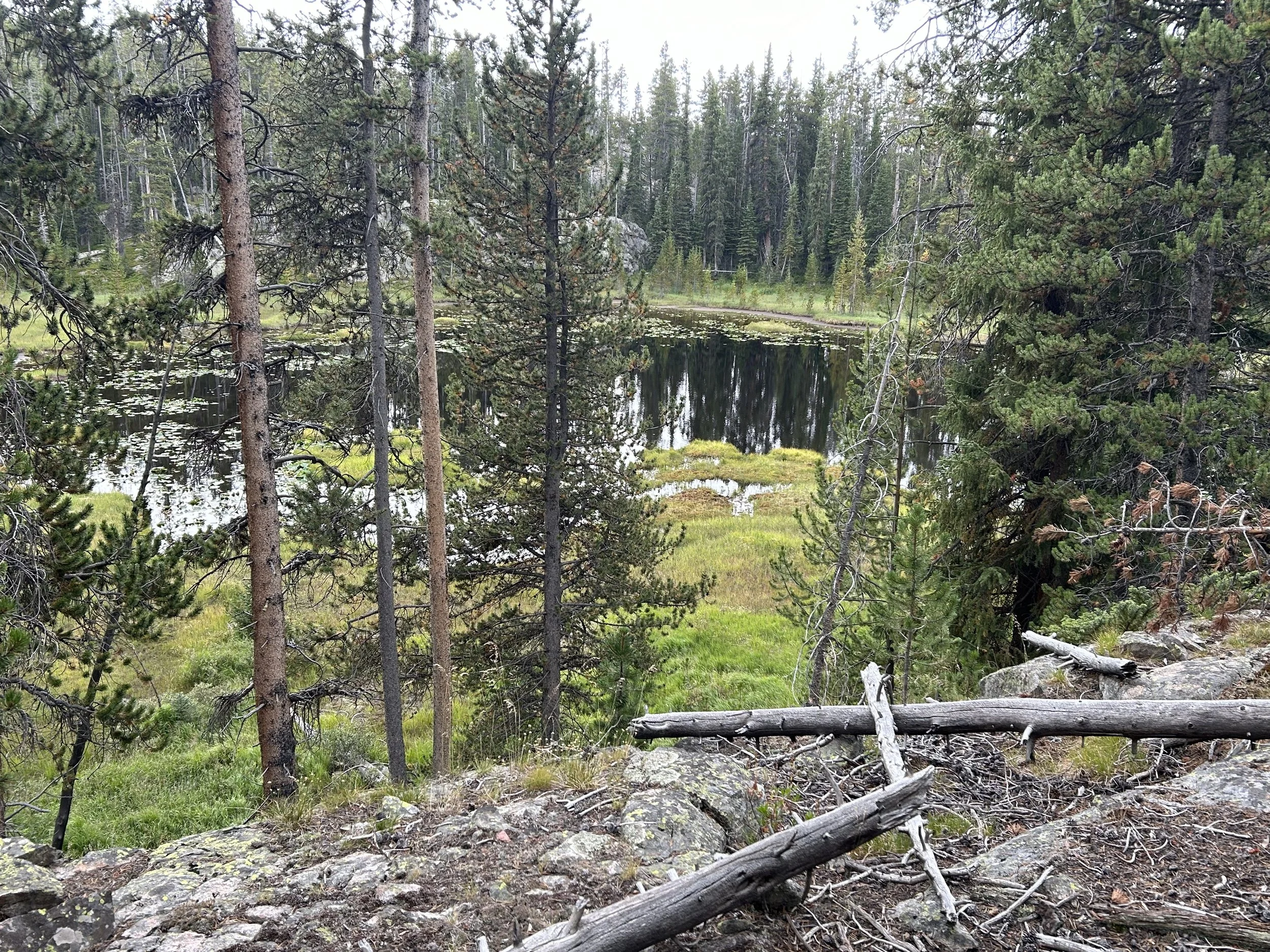
Poke Lake
Eighteen acres on the walk out from Granite, and the biggest water you pass on the climb back to Clay Butte.
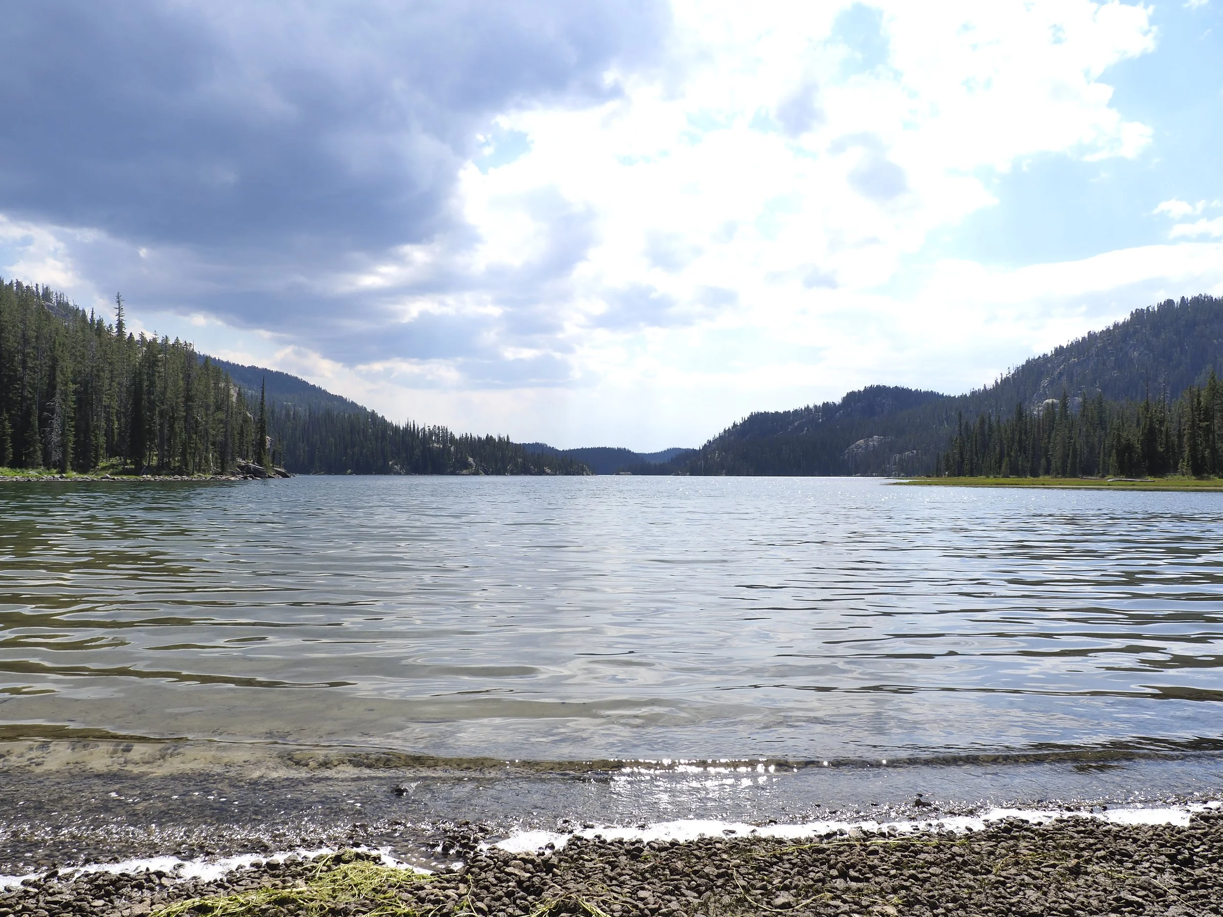
Granite Lake
Two hundred and twenty-eight acres and a hundred and twenty-five feet deep, in country where a big lake is thirty acres. FWP admits they cannot sample it properly.
Trey Lake
Under an acre at nearly ten thousand feet, the last of the small lakes before the trail climbs into the higher country.