

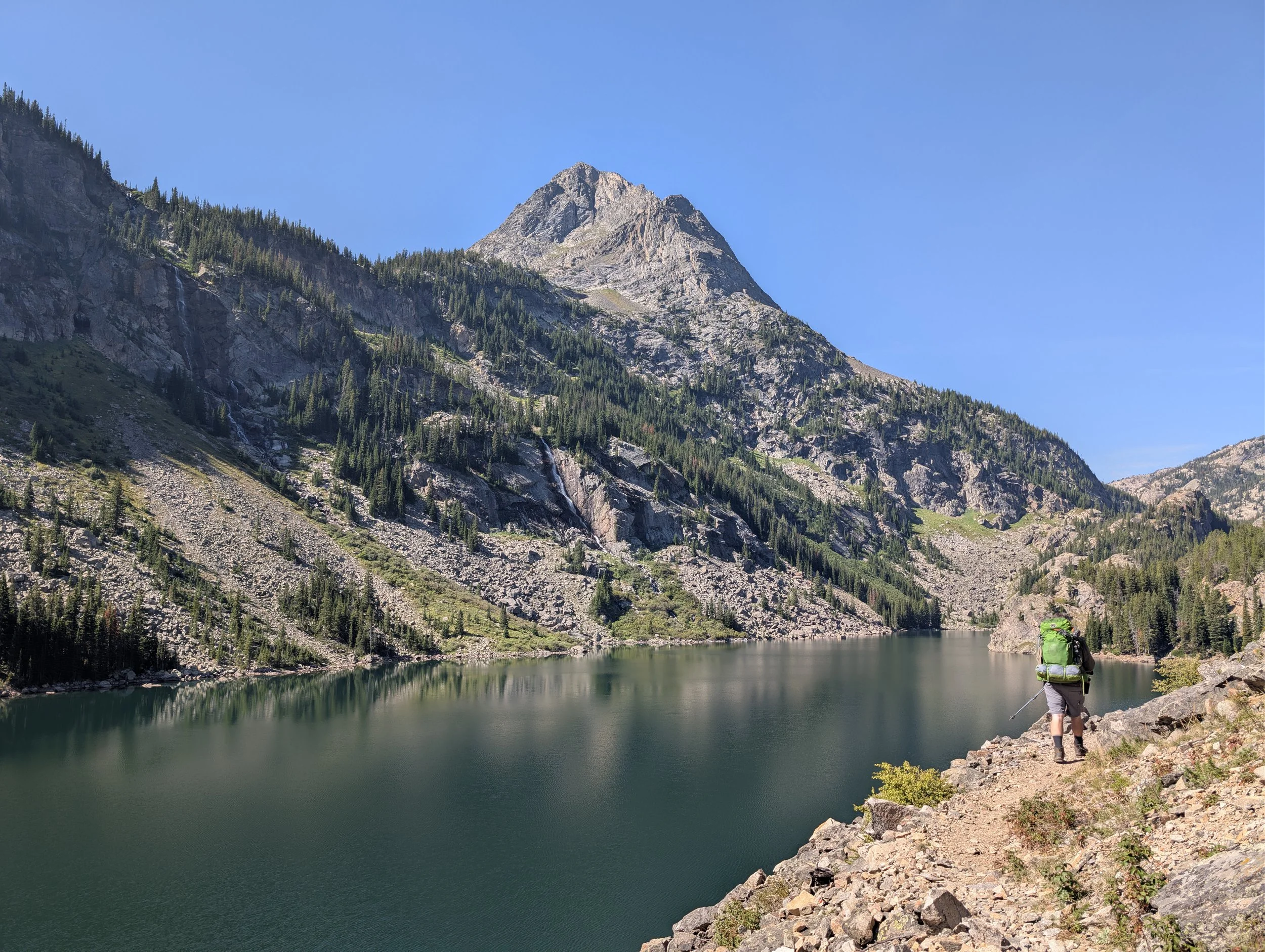
Lake at Falls
The fifth lake up the East Rosebud, named for the falls on its south shore. Golden trout planted here in 1955 seeded the fishery for the whole drainage below.
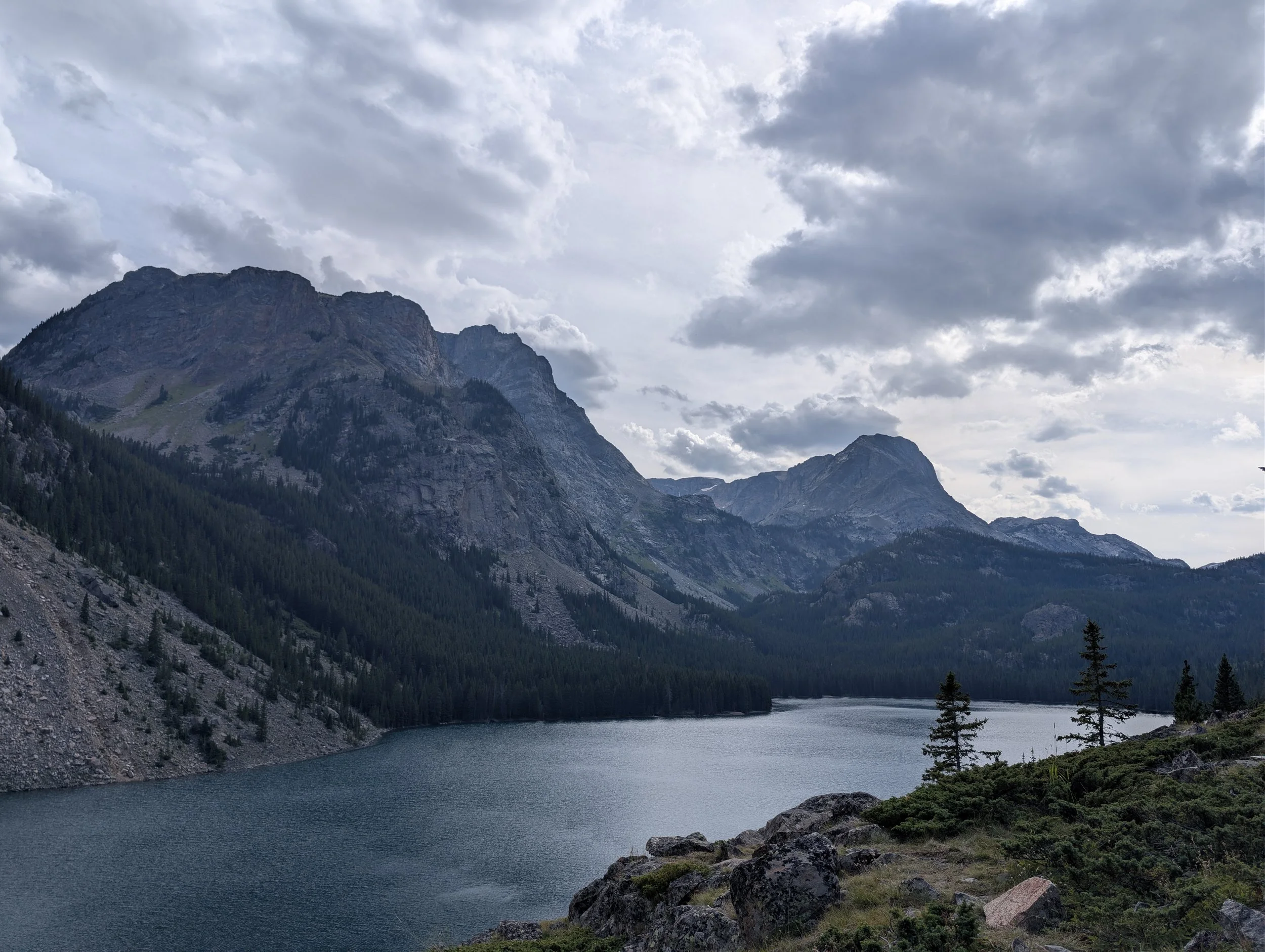
Rainbow Lake (East Rosebud)
The fourth lake up the East Rosebud and 180 feet deep. Where most people stop, where most of the camping is, and about a mile farther than the sign suggests.
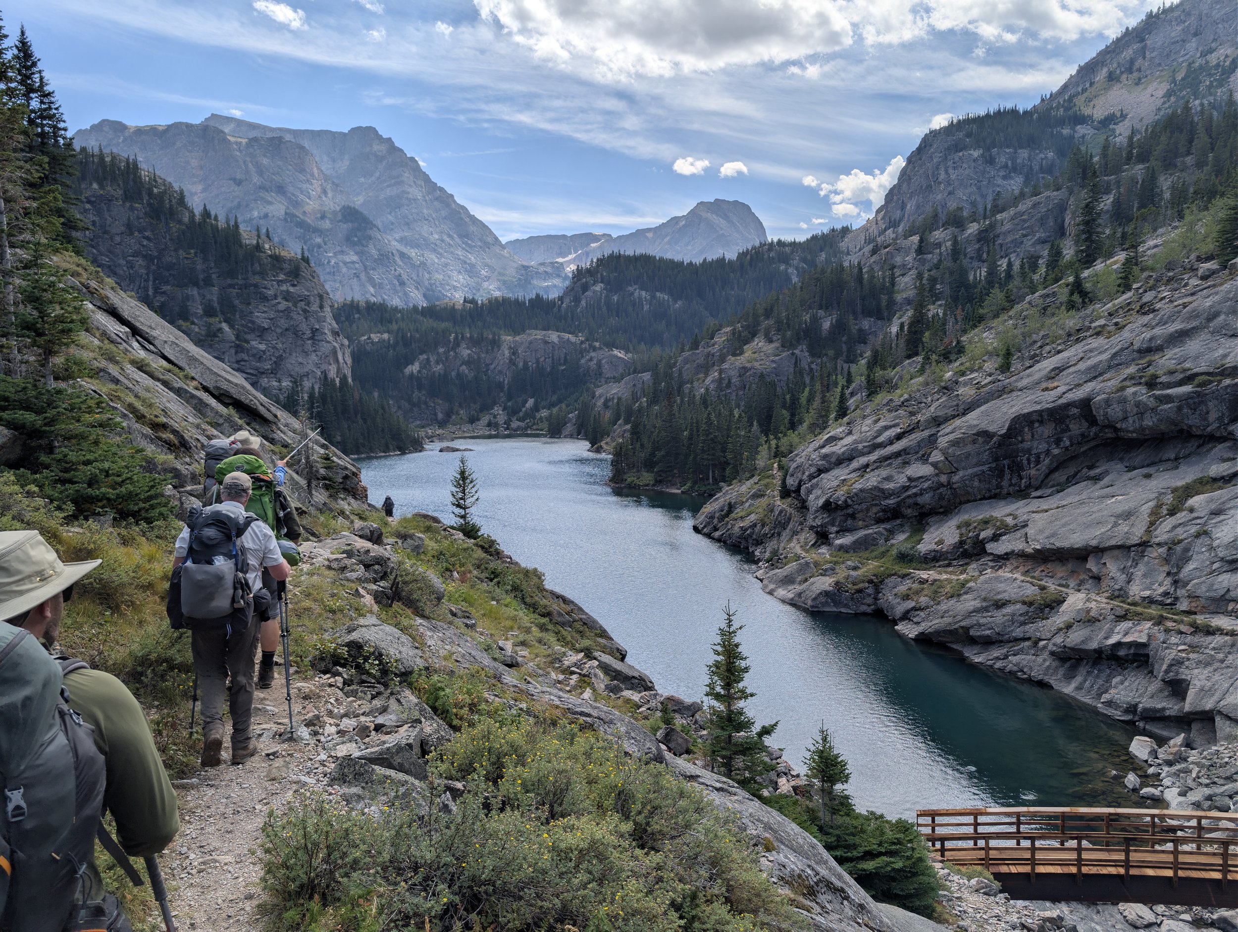
Rimrock Lake
The third lake up the East Rosebud and the first real one, held in a narrow steep-sided valley. Colorful self-sustaining hybrids and a swim worth stopping for.
Elk Lake (East Rosebud)
The first lake up the East Rosebud, a bit over three miles on good trail. Easy camping and abundant small brookies, but after the flood this is a wide spot in the river you could wade across.
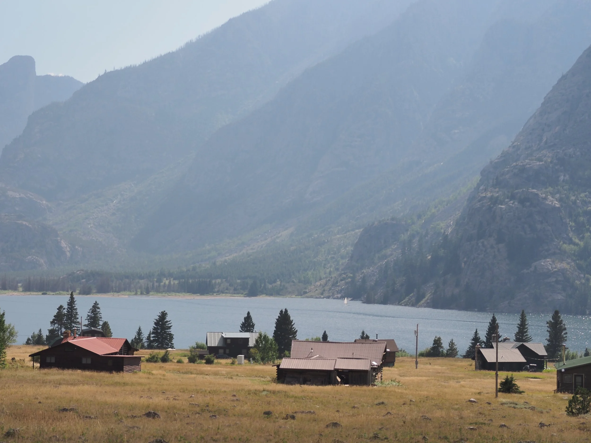
East Rosebud Lake
The drive-to lake at the mouth of the East Rosebud, and the trailhead for every lake above it. Shallow, easy to reach, and holding brown trout past 25 inches.
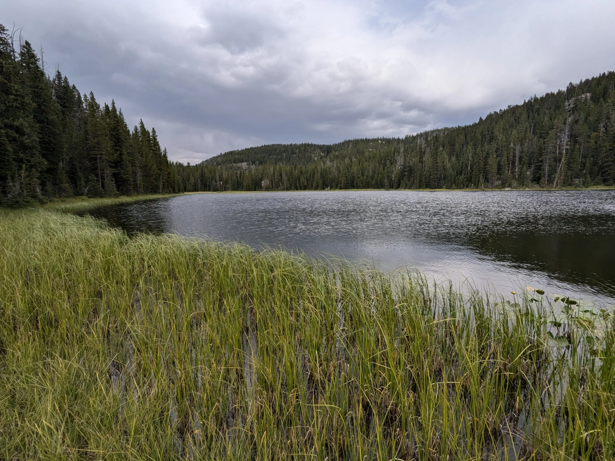
Rush Lake
The last lake on the walk out to Clay Butte, and the published coordinates put it a mile from where it actually sits.
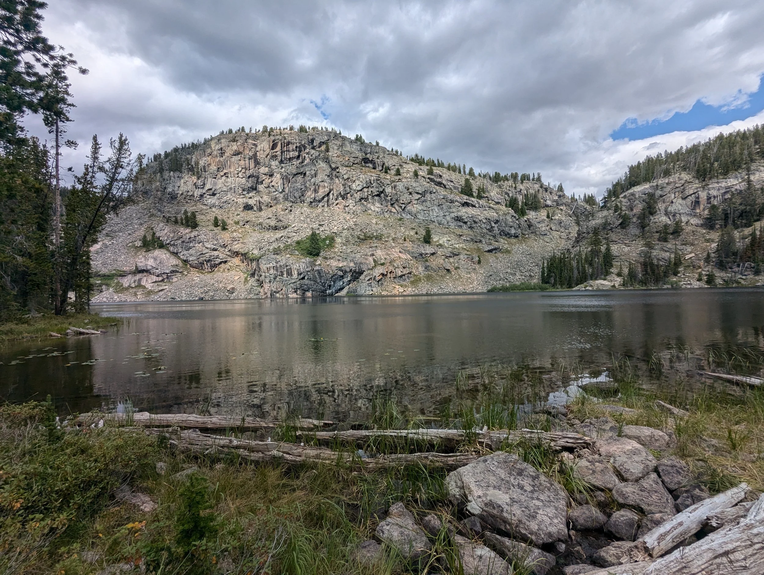
Elk Lake (Clarks Fork, WY)
There is a trail to it that the maps do not show, and the published coordinates put it two and a half miles from where it actually is.
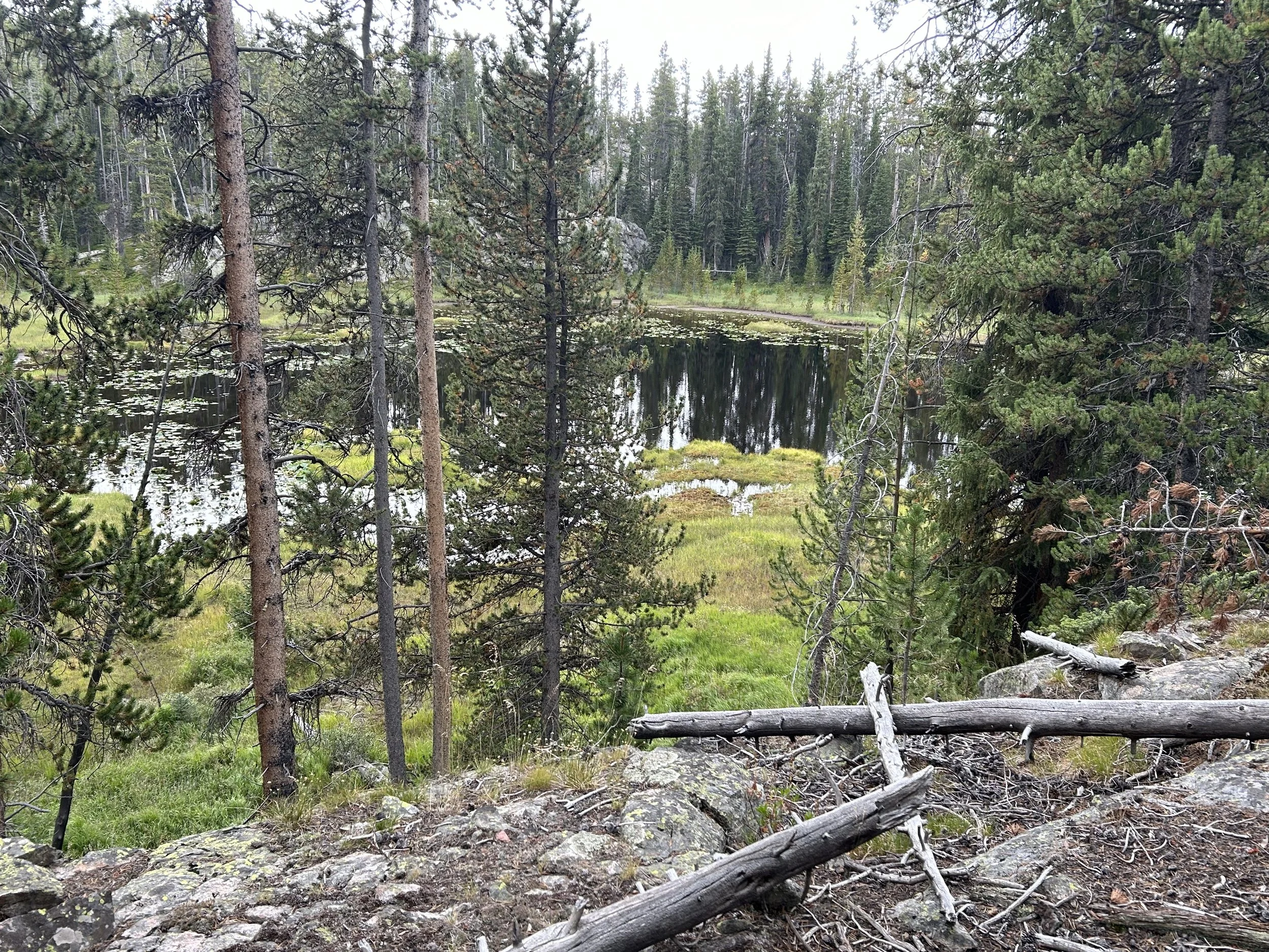
Poke Lake
Eighteen acres on the walk out from Granite, and the biggest water you pass on the climb back to Clay Butte.
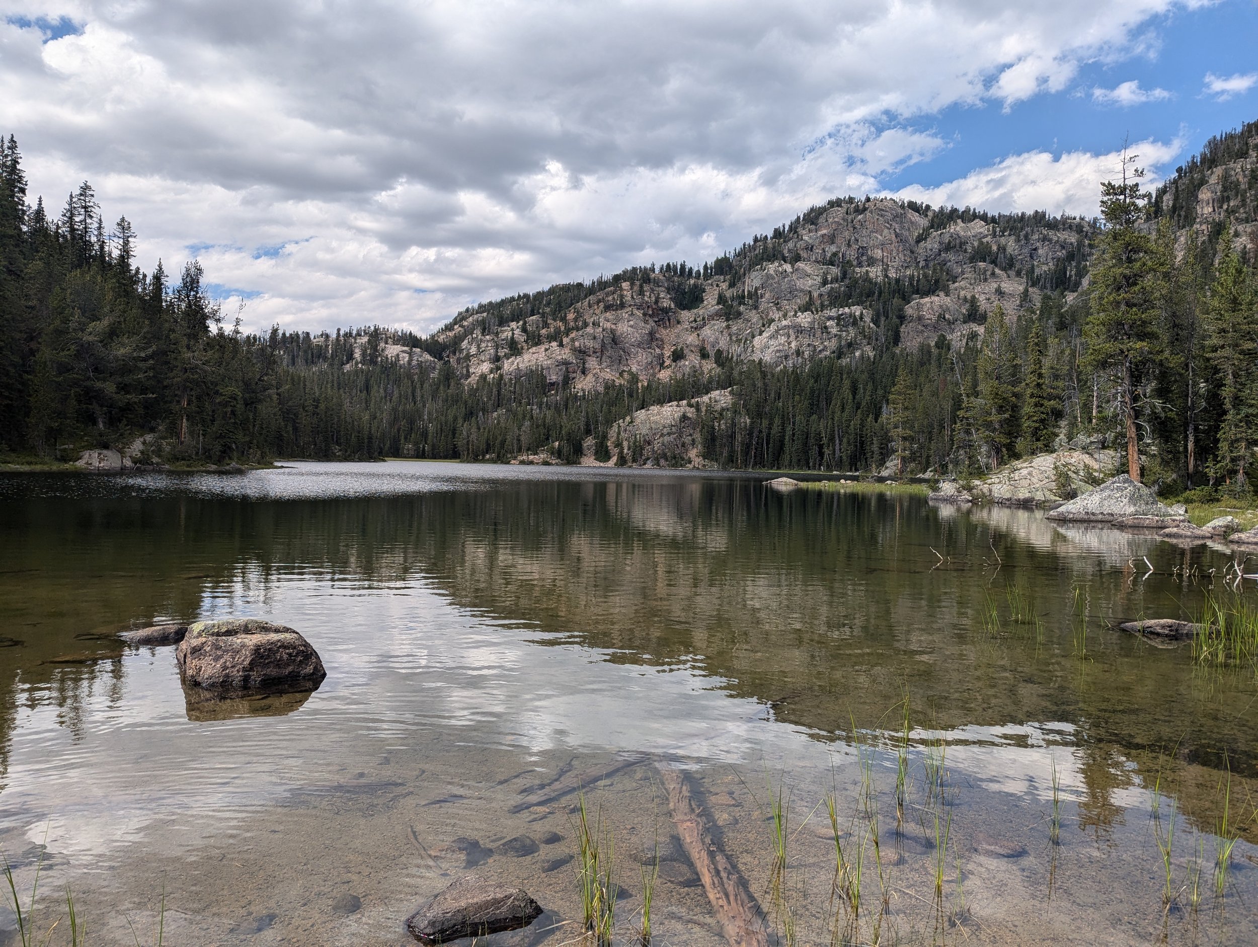
Burnt Bacon Lake
Fifteen acres FWP calls beautiful and has never caught a fish in. A grayling plant was cancelled in 1984 and nothing has been tried since.
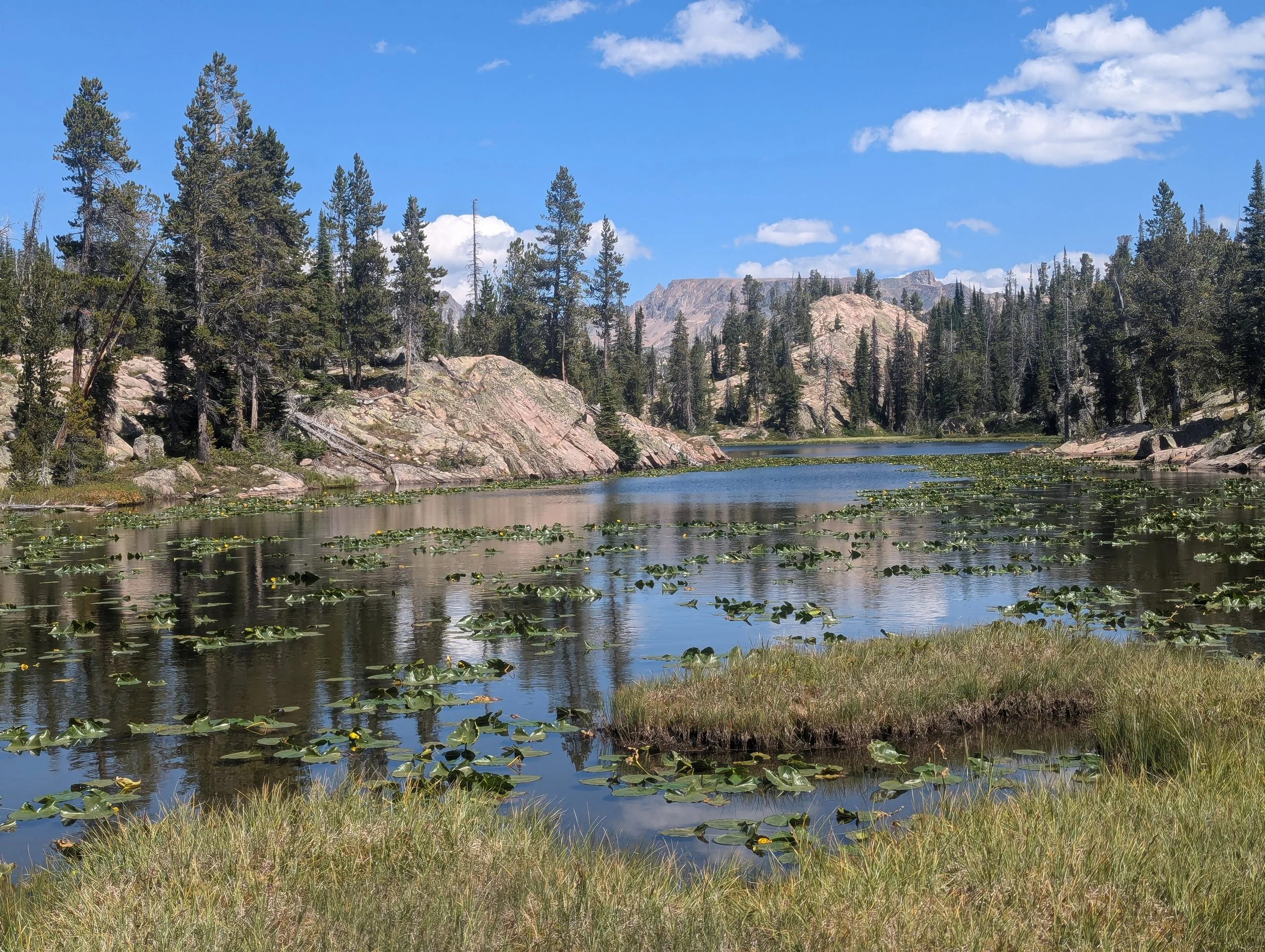
Skeeter Lake
Three straight FWP surveys have caught nothing here, and future stocking is on hold. The name is not a coincidence either.
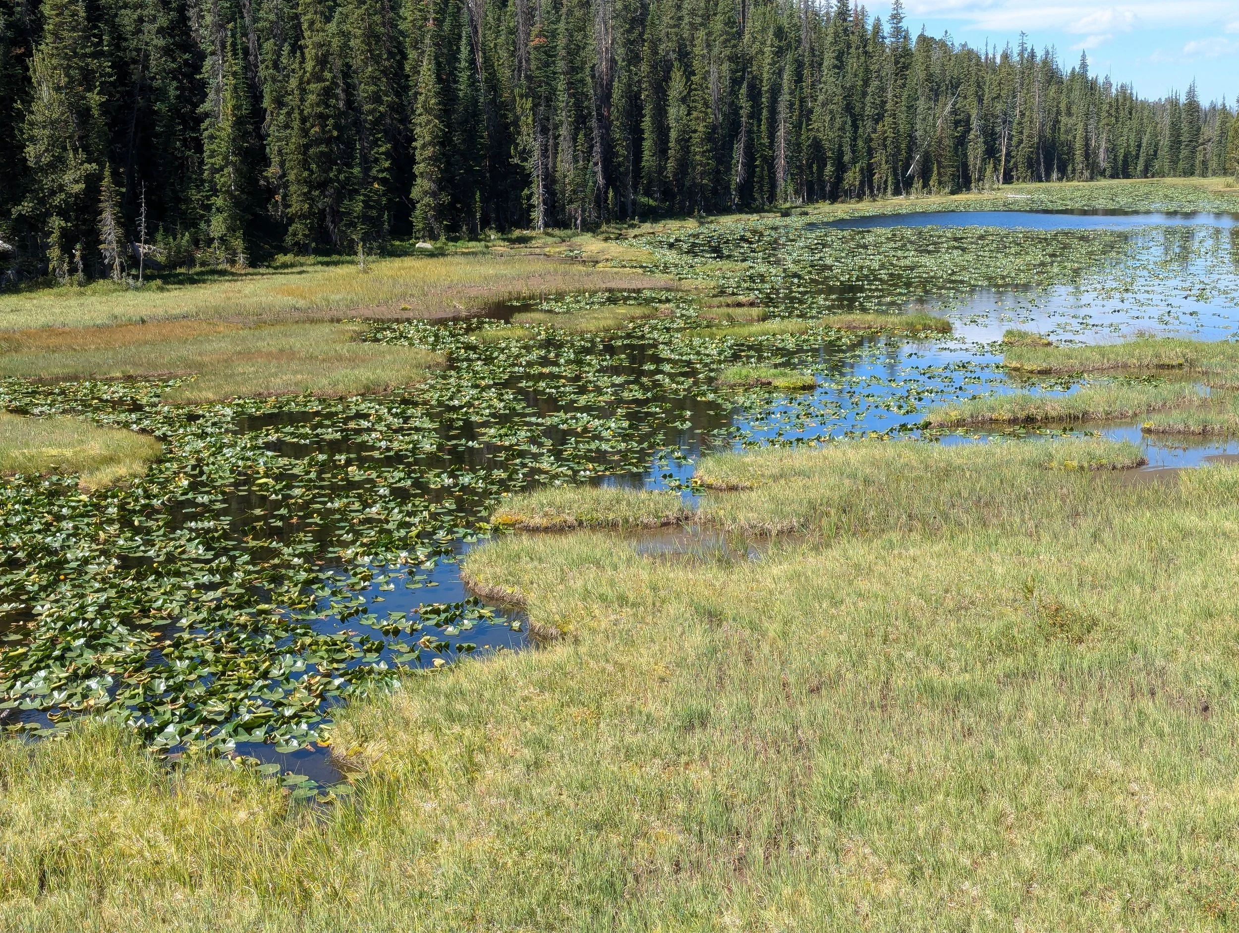
Spaghetti Lake
A thousand feet of climbing in a mile and a quarter above Granite Lake, for the only Arctic grayling water on this side of the plateau.
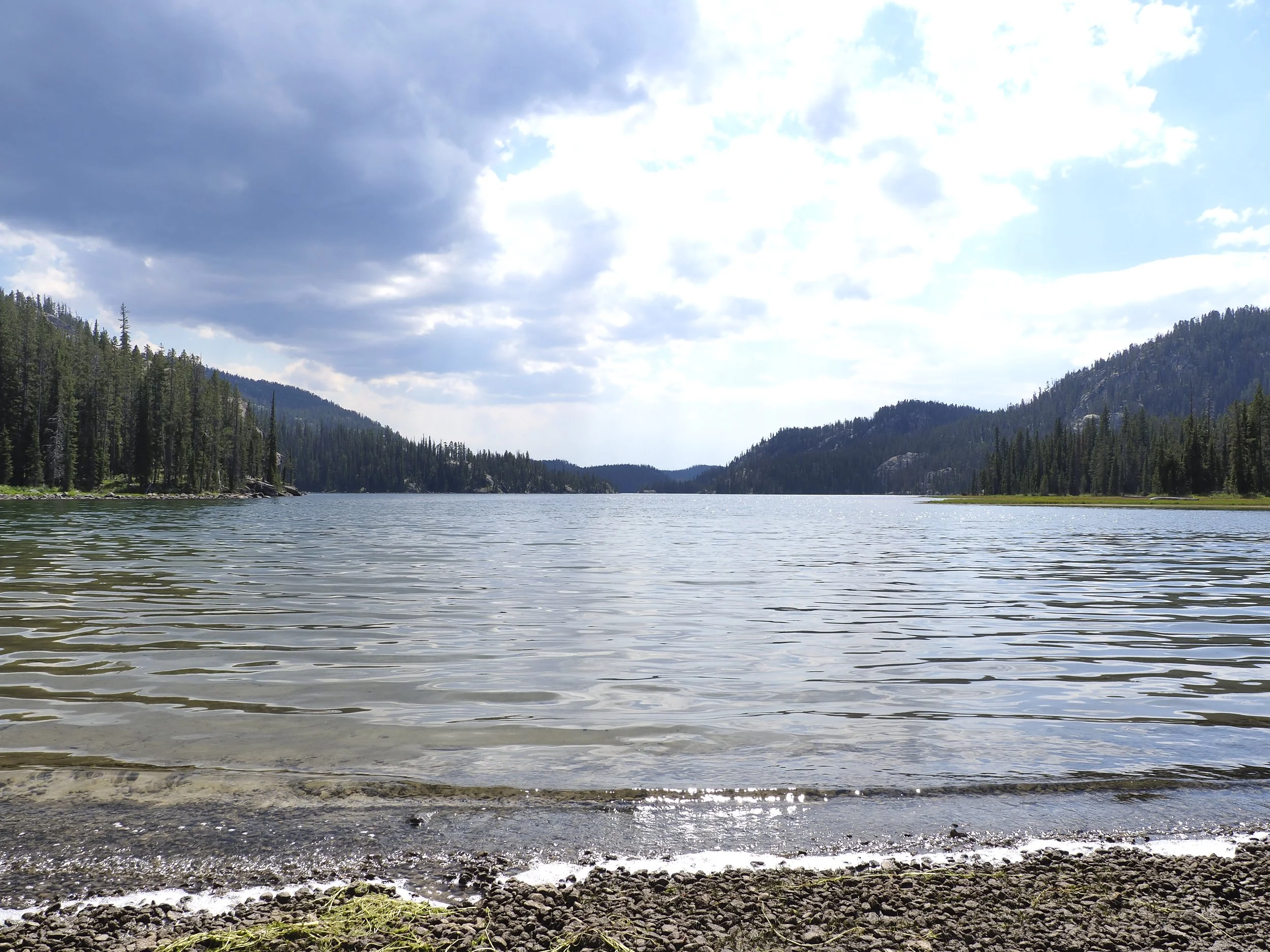
Granite Lake
Two hundred and twenty-eight acres and a hundred and twenty-five feet deep, in country where a big lake is thirty acres. FWP admits they cannot sample it properly.
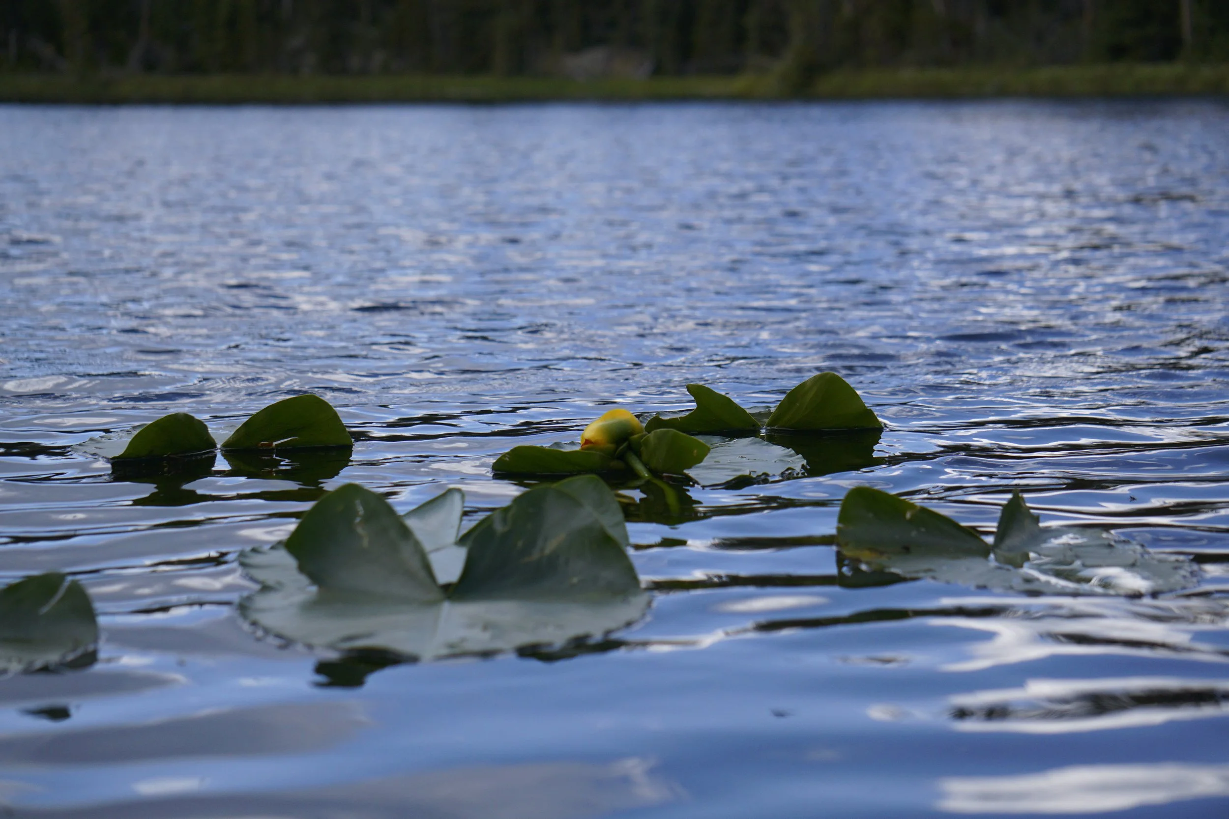
Teardrop Lake
Half a mile below Thiel on the way down to Granite. Our GPS put it more than a mile from where the maps show it.
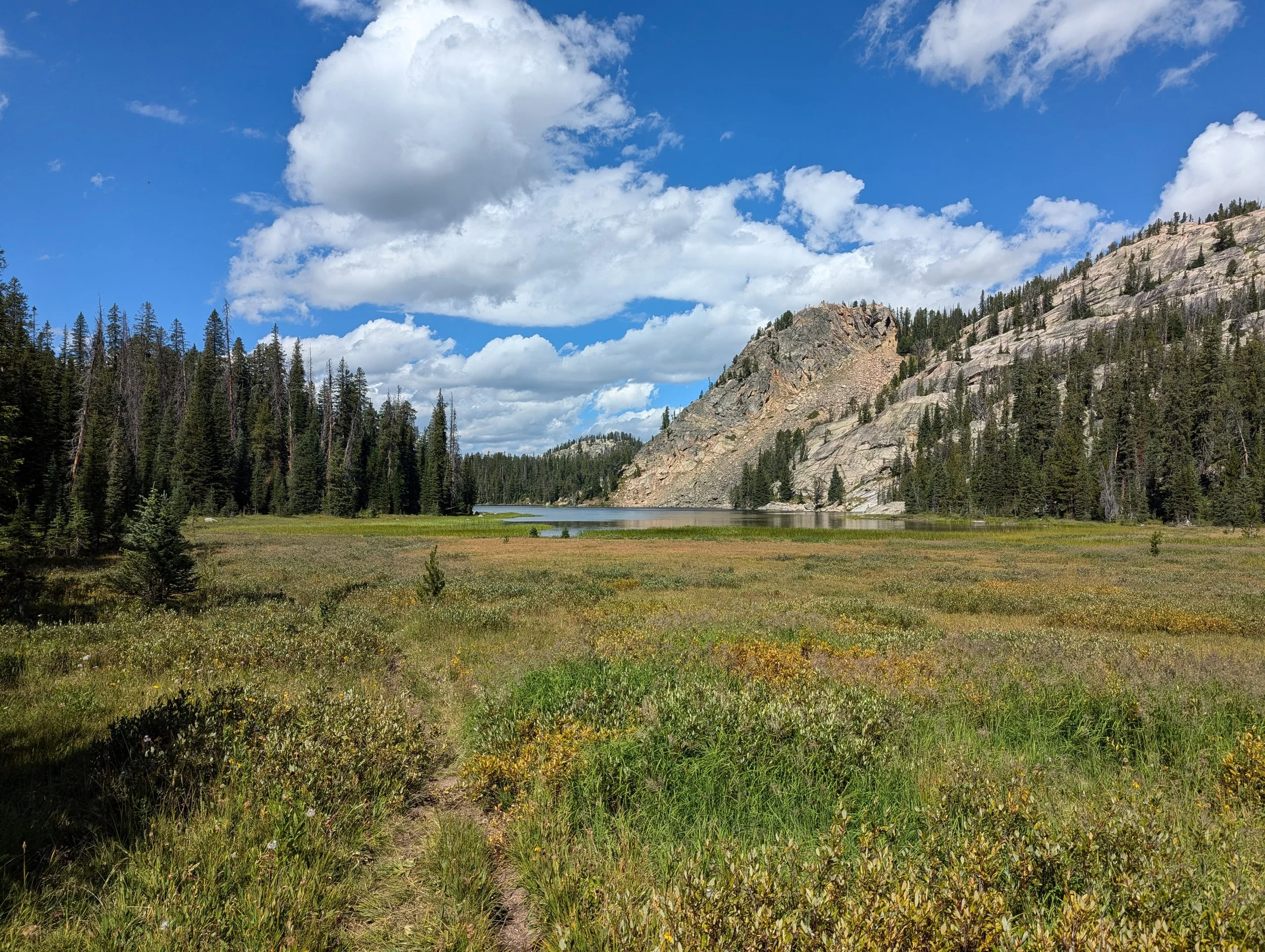
Thiel Lake
A mile west of Hidden Lake through a slick outlet scramble. Most of the brook trout FWP sampled came from the pond in the outlet, not the lake.
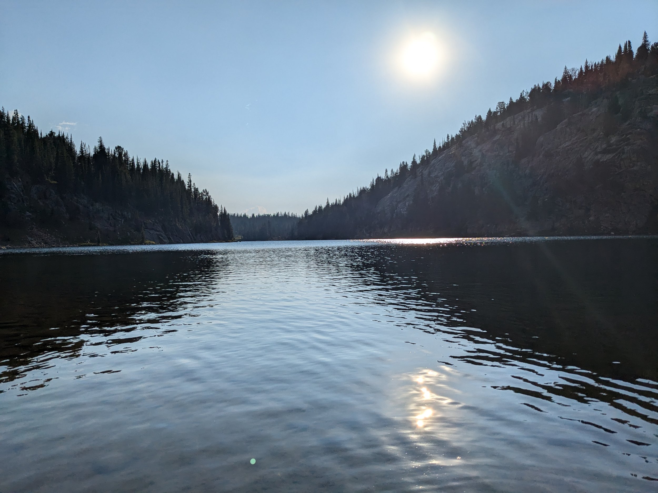
Hidden Lake (Clarks Fork, MT)
Eighteen acres of self-sustaining cutthroat, and the first place on the route with real trees to camp under after four lakes above timberline.
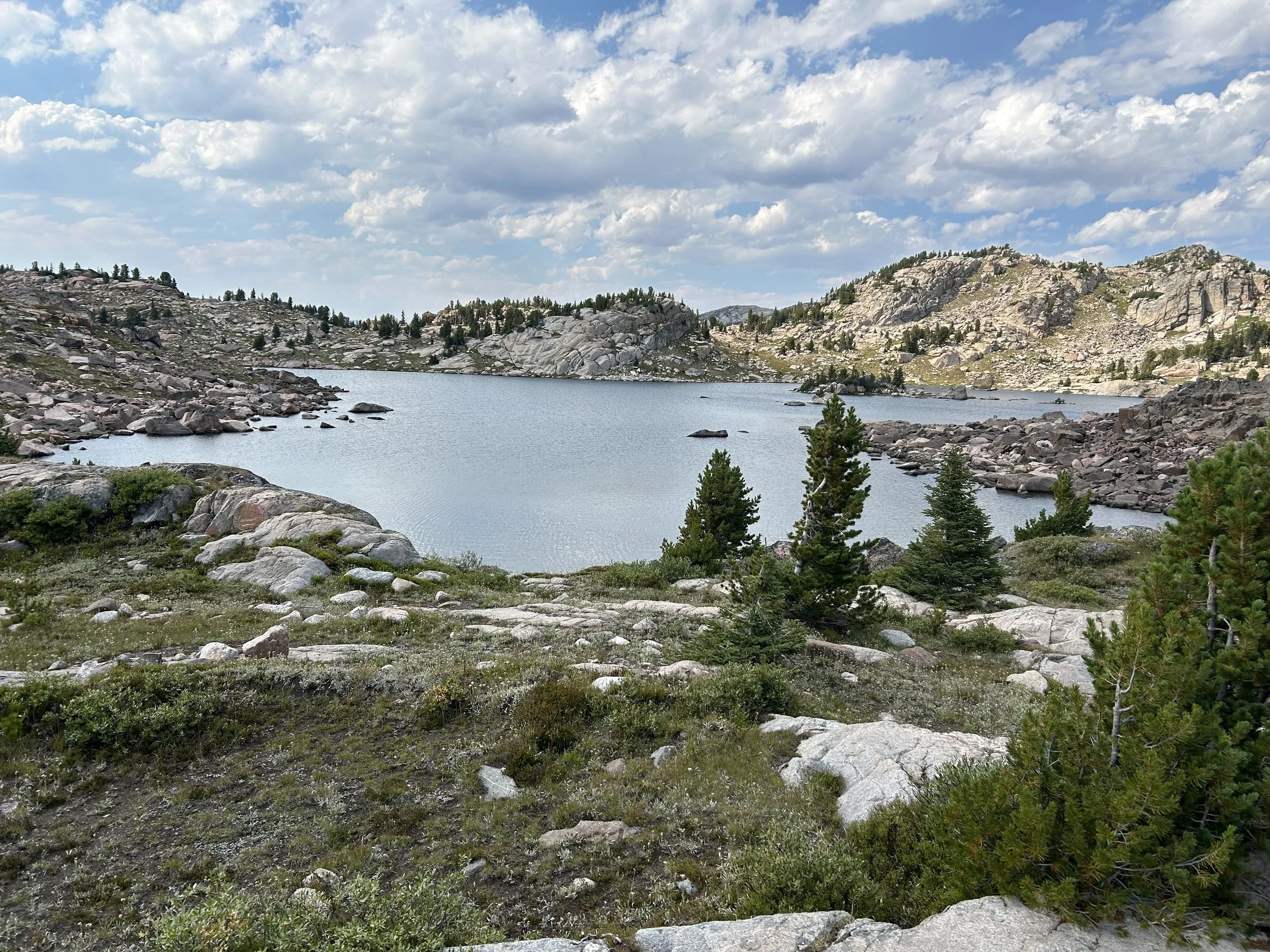
Gus Lake
Sixteen acres on the Montana-Wyoming line holding brook trout that nobody can explain. The lake was presumed fishless.
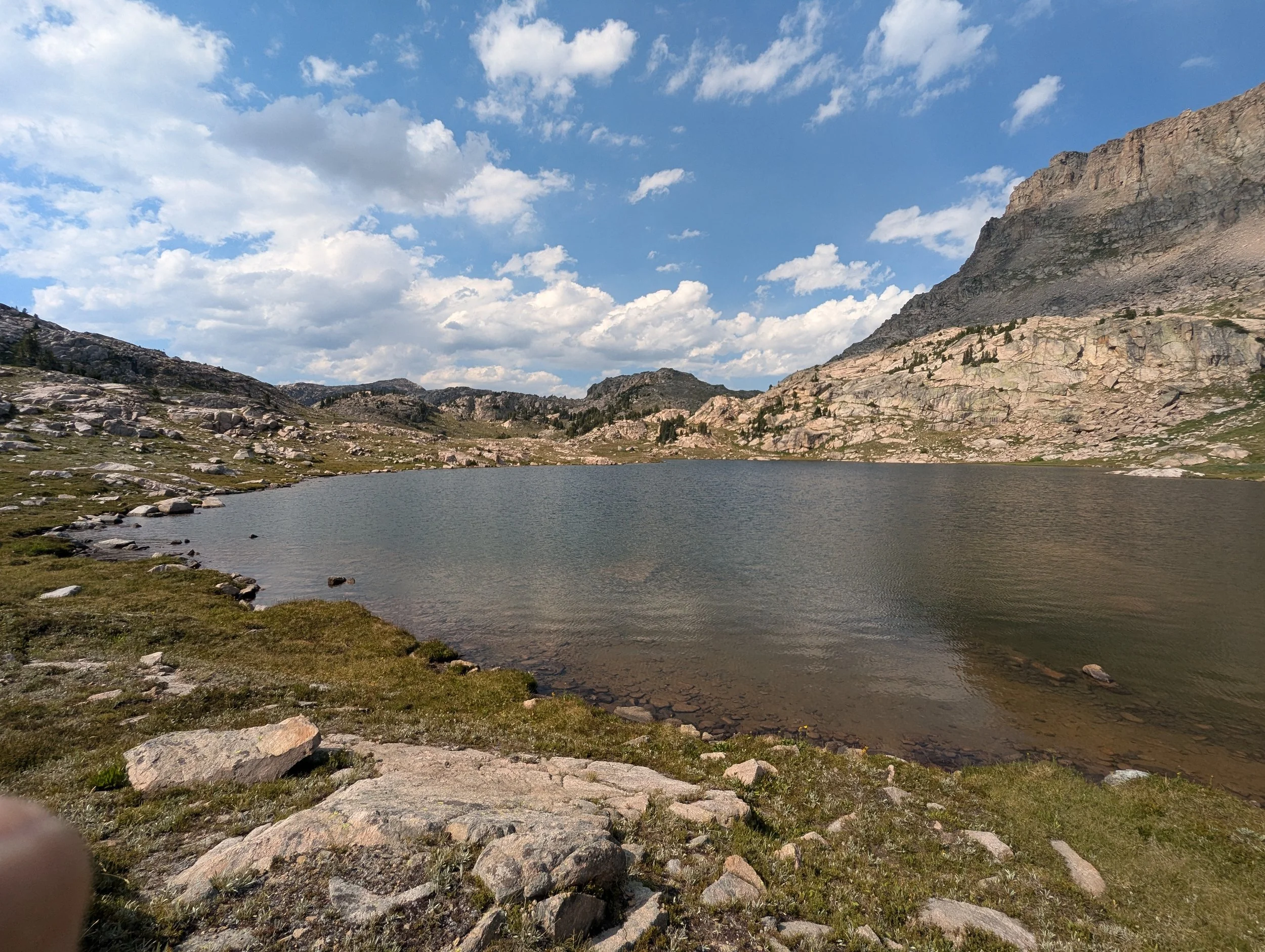
Abandoned Lake
Nine and a half acres above treeline holding abundant brook trout, with no stocking record on file anywhere.
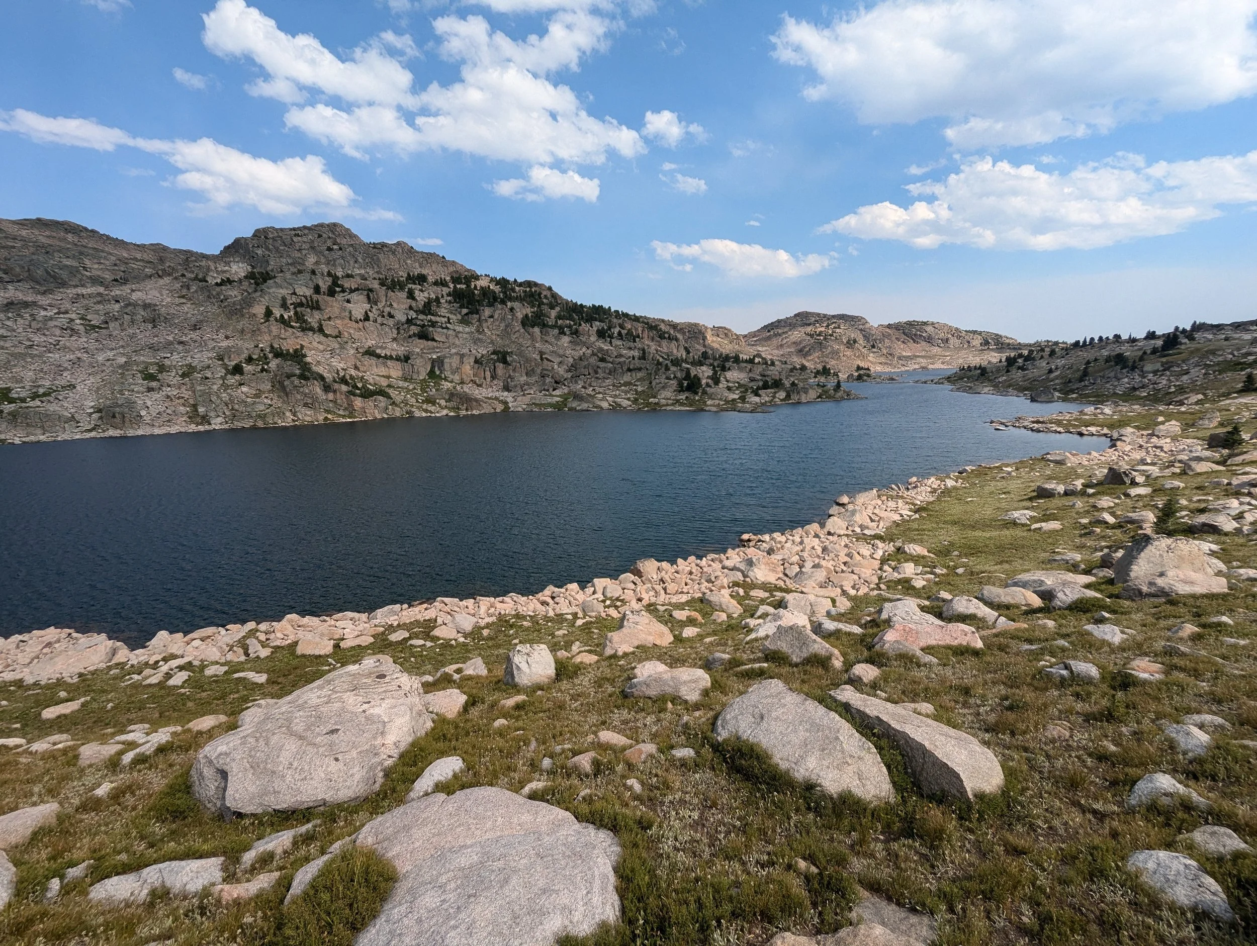
Lonesome Lake
Thirty-six acres above ten thousand feet, straddling the Montana and Wyoming line. The largest water on the plateau above Clay Butte.
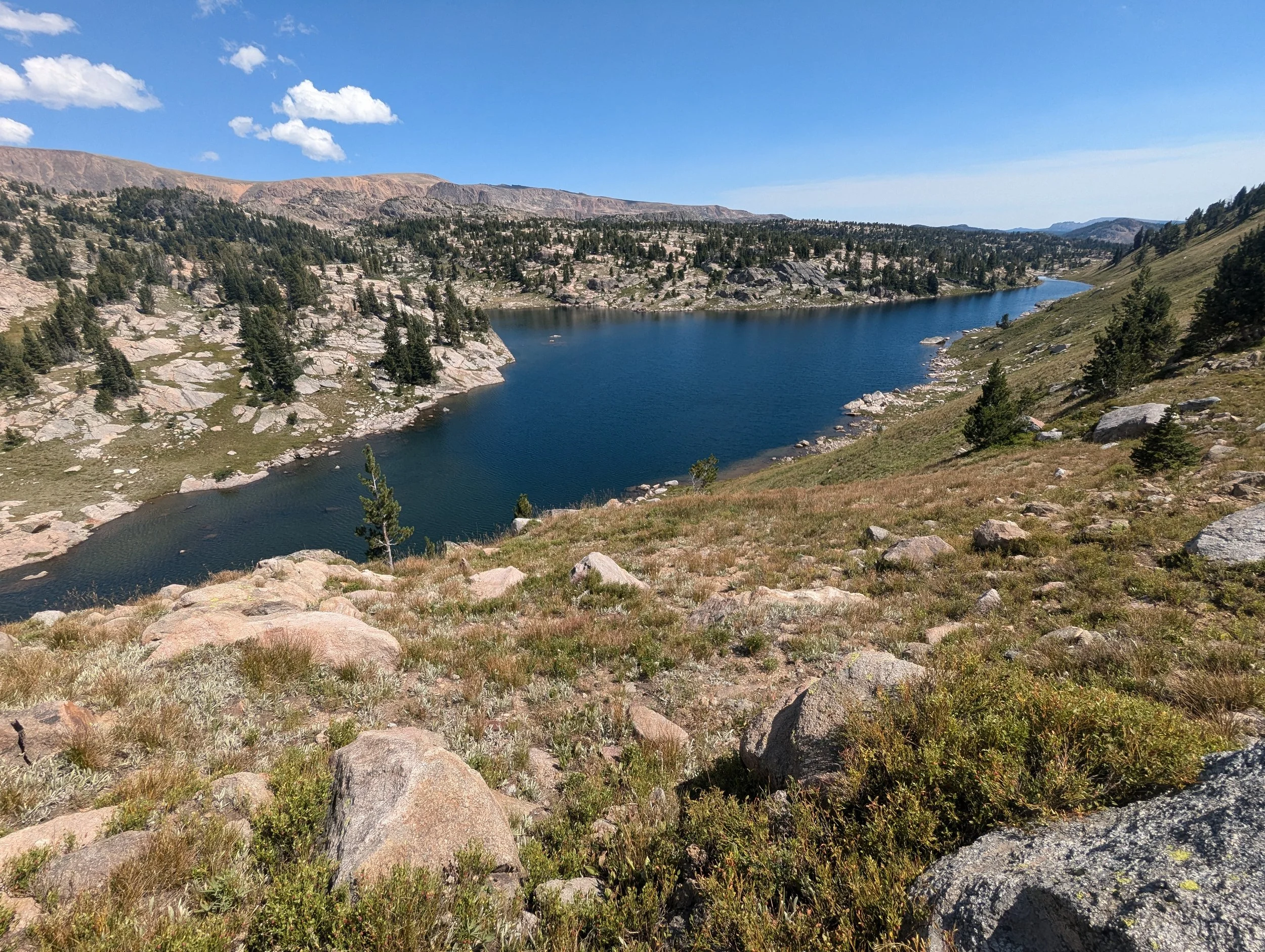
T Lake
Thirteen acres on the plateau above Clay Butte, the largest lake in a cluster where everything else is under ten.
Trey Lake
Under an acre at nearly ten thousand feet, the last of the small lakes before the trail climbs into the higher country.