

Ace Lake
An acre and a third at nearly ten thousand feet, the smallest and highest of the card lakes above Clay Butte.
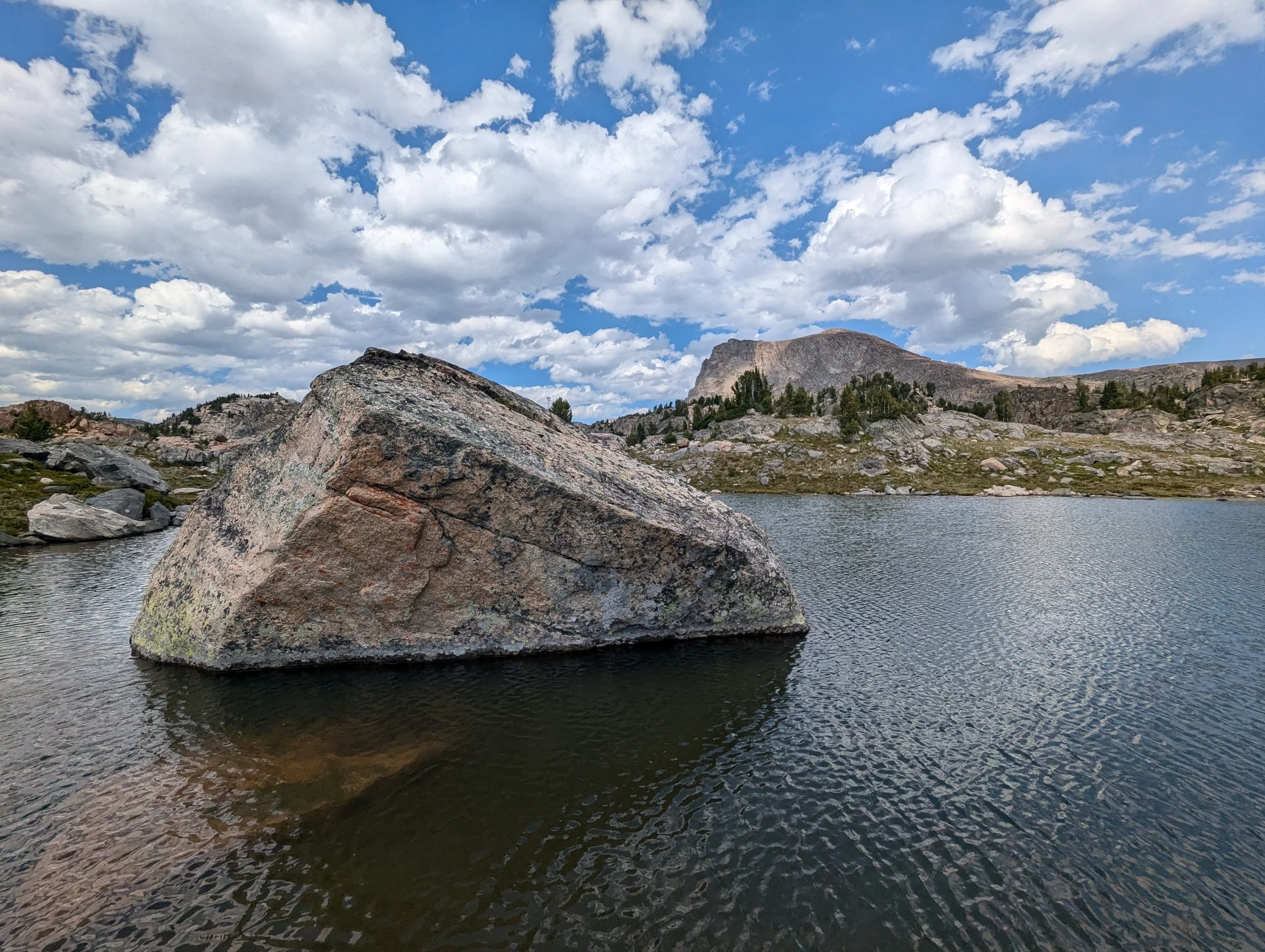
Surprise Lake (Clarks Fork, WY)
Four acres in the middle of the tightest lake cluster on the plateau, with five more within half a mile of the shoreline.
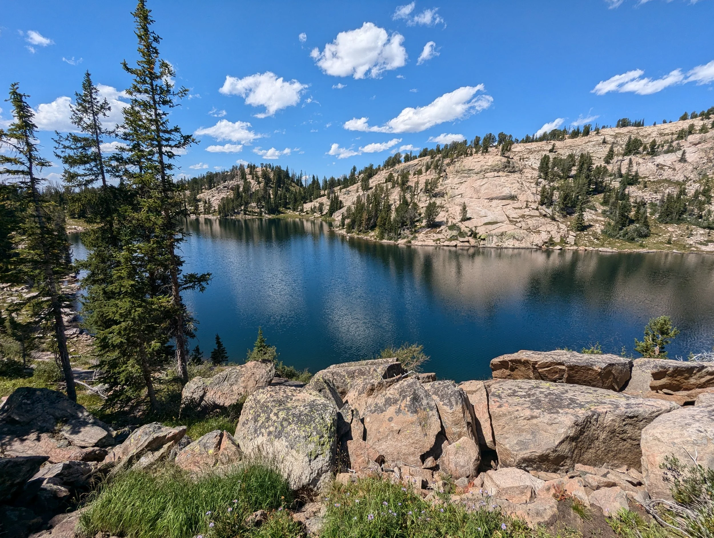
Deuce Lake
Two and a half acres right beside the trail, four tenths of a mile north of Native Lake on the plateau above Clay Butte.
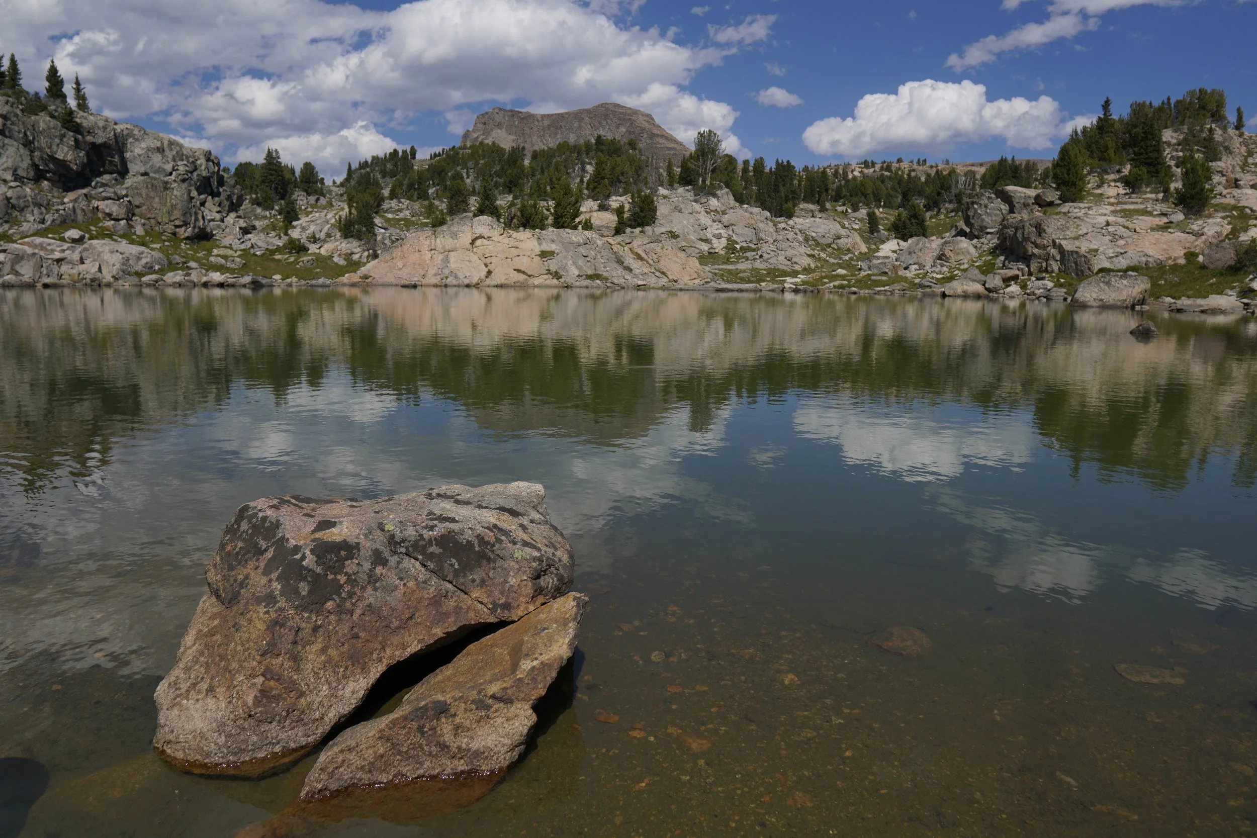
Box Lake
Approximately half a mile northwest of Native Lake, the largest of the small lakes clustered on the plateau above Clay Butte.
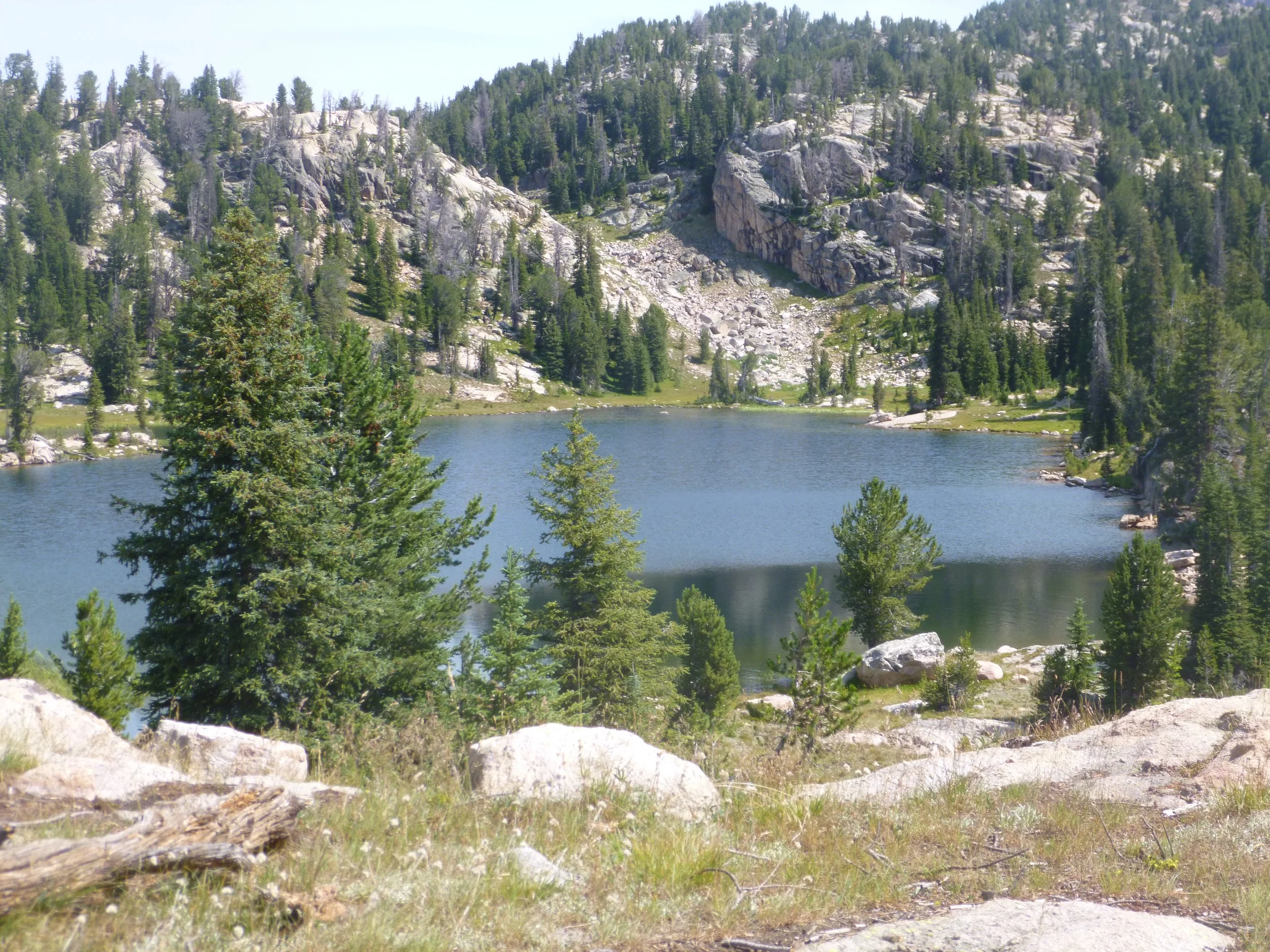
Native Lake
Approximately three miles in from Clay Butte, the junction lake for the Beartooth High Lakes. Five more lakes sit within three quarters of a mile.
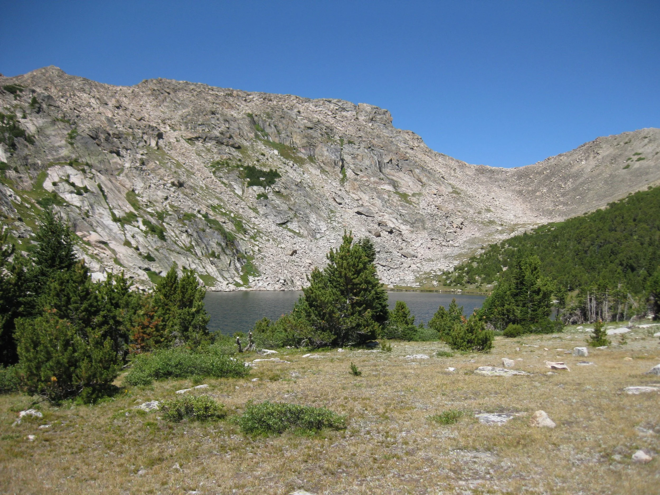
Little Mary Lake
Two acres a couple hundred yards from Lake Mary, with no FWP survey, no stocking record and no species list on file anywhere.
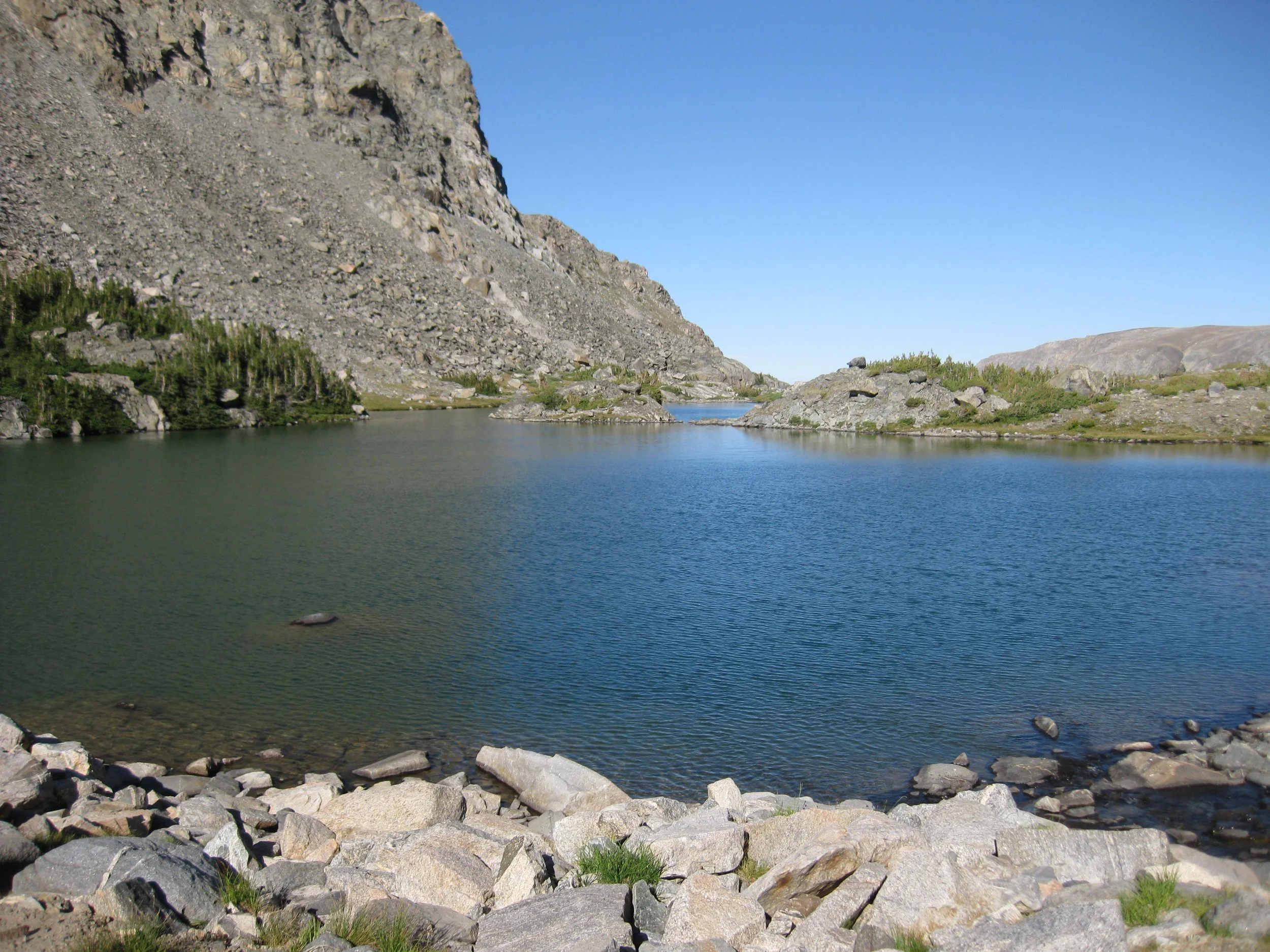
Senal Lake
Three and a half acres above timberline holding both brook trout and Yellowstone cutthroat, the cutthroat drifting down from Dude Lake above.
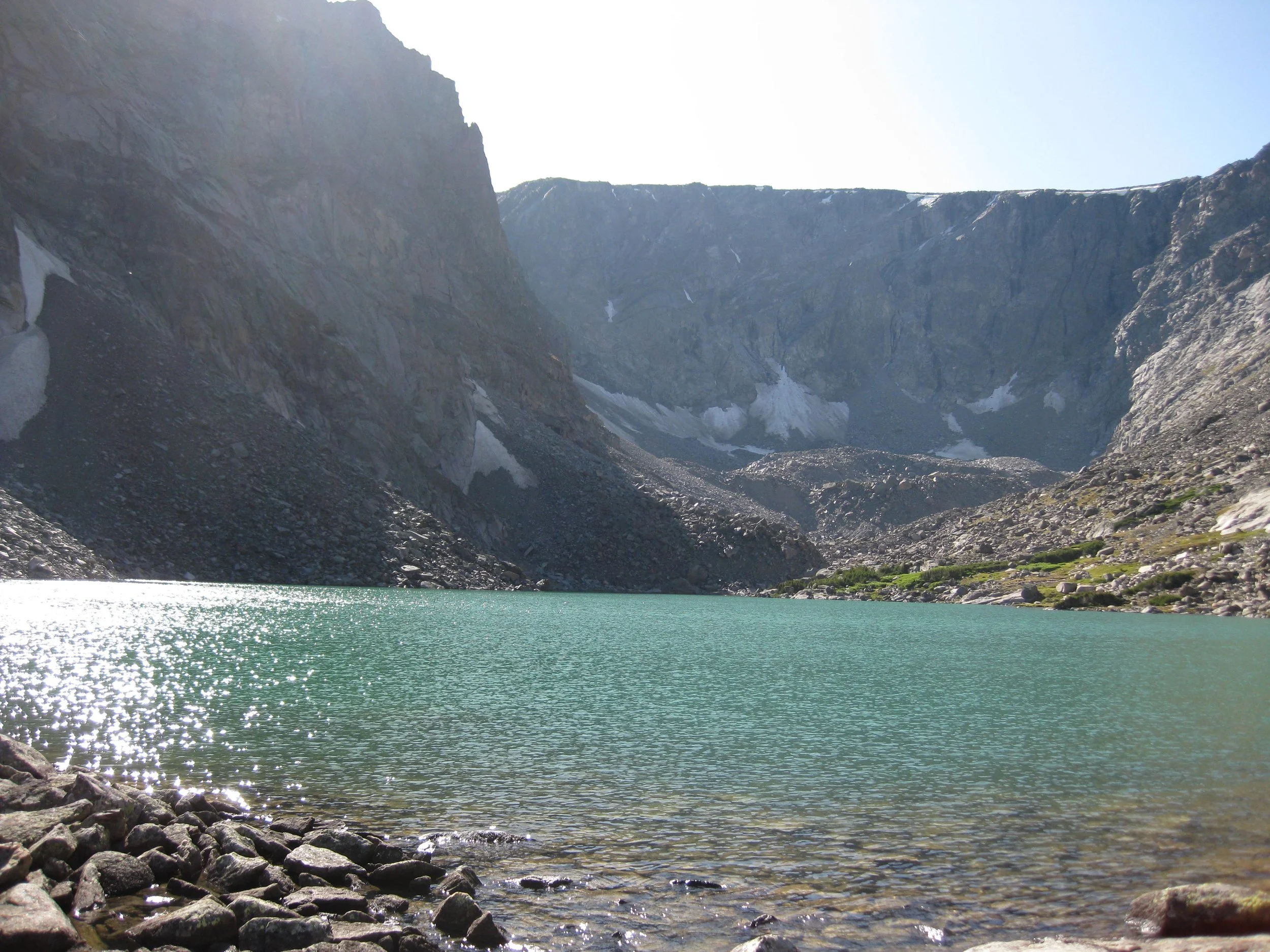
Dude Lake
Approximately six miles up the West Fork of Rock Creek, the last mile off-trail up the outlet stream. Yellowstone cutthroat above timberline.
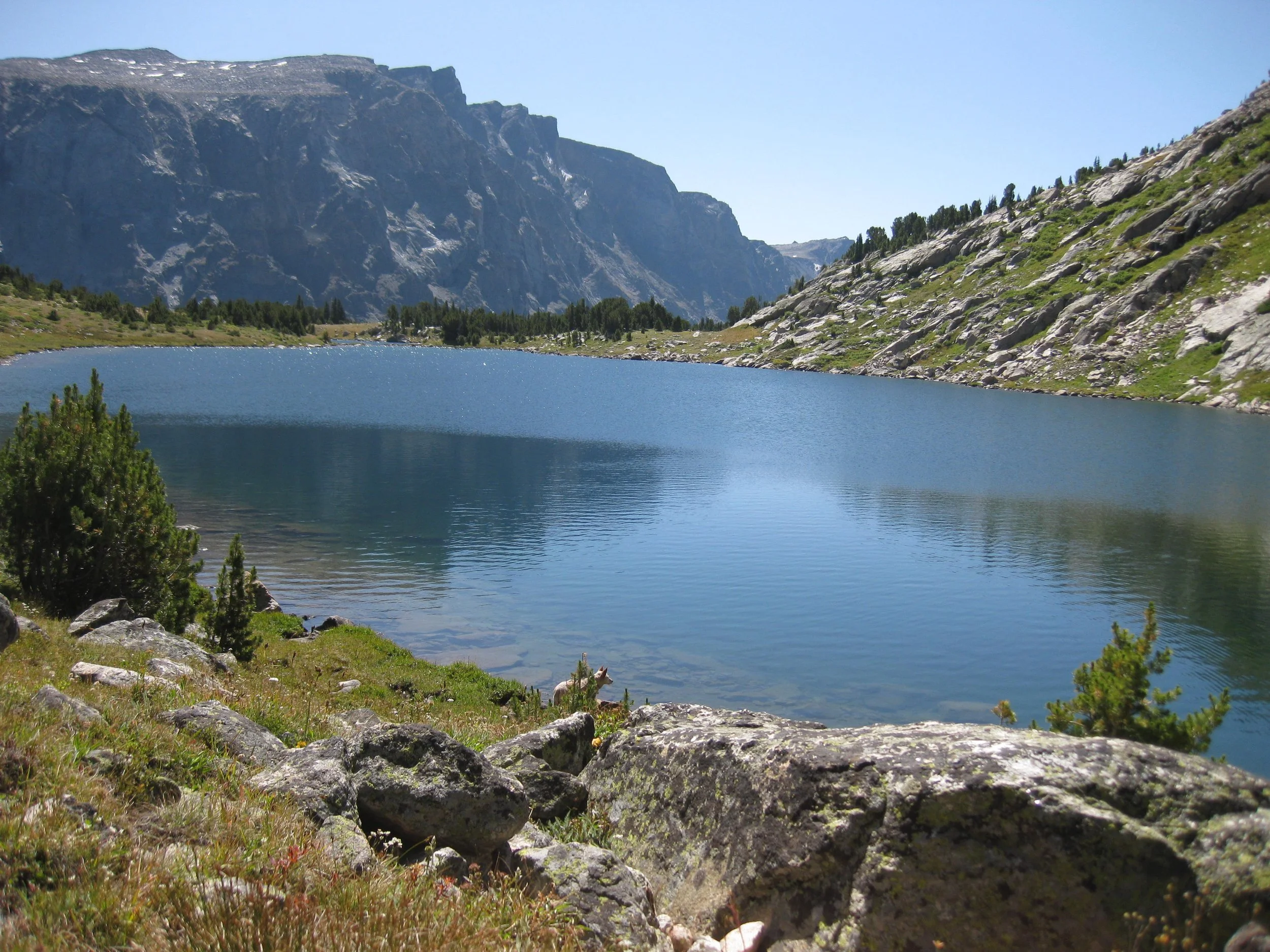
Lake Mary
Five miles of good trail to Quinnebaugh Meadows, then a steep mile north. Brook trout that have been self-sustaining since the 1930s.
Little Goose Lake
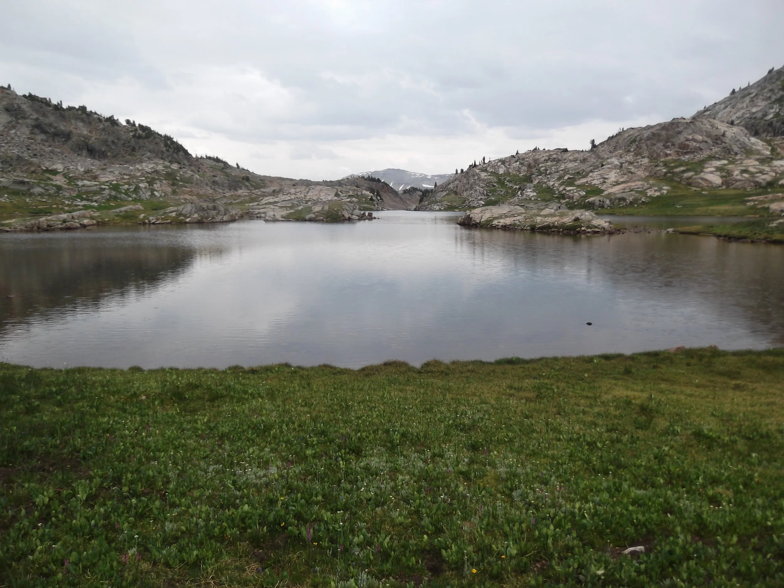
Goose Lake
Eight miles of jeep road north of Cooke City, then a quarter mile on foot. Nearly every stocked Yellowstone cutthroat in Montana traces back to this lake.
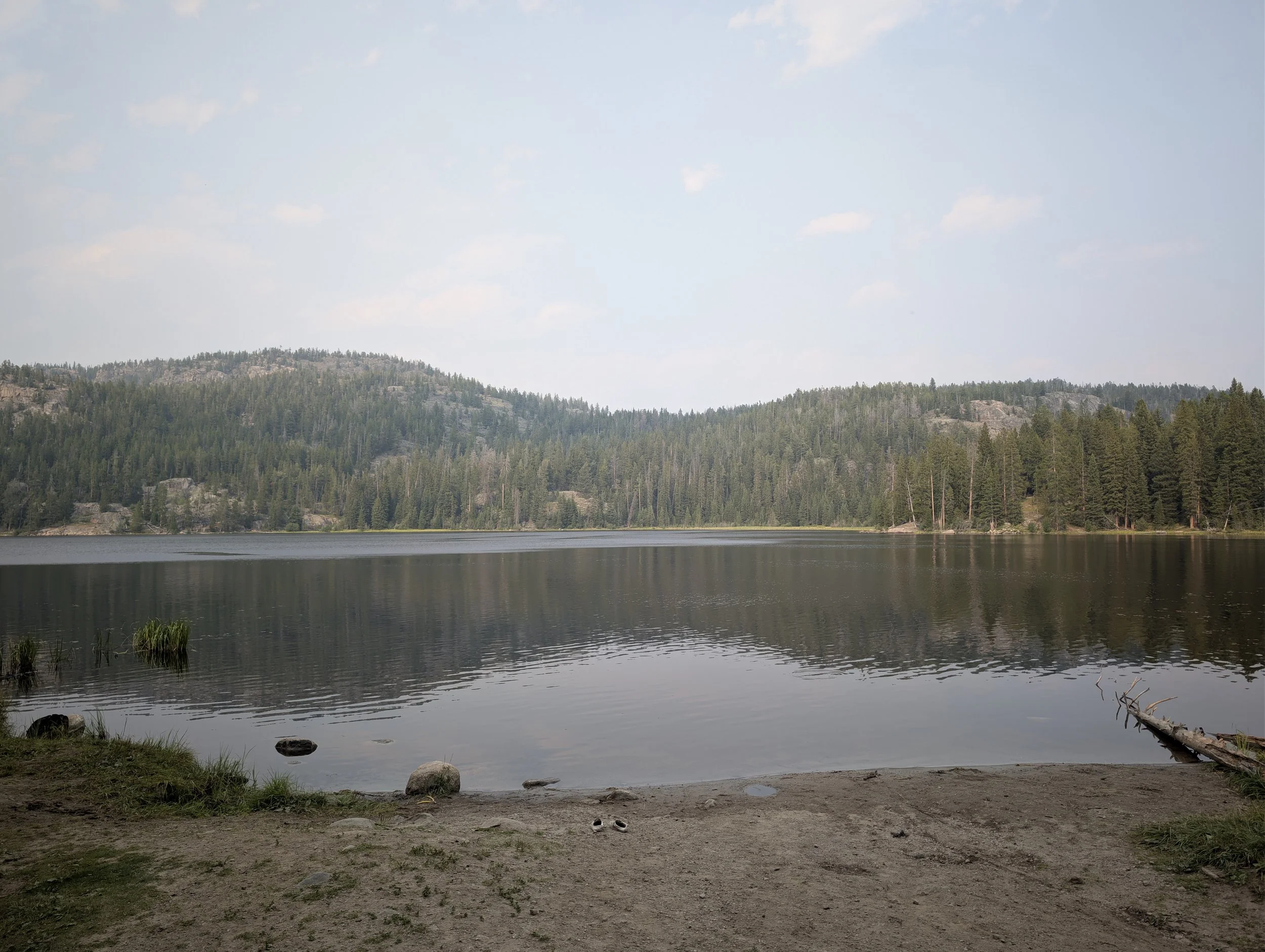
Lily Lake (Clarks Fork, WY)
Forty-one acres you can drive a minivan to, with a campground at the water, a boat ramp, jumping rocks, and crawdads in the shallows.
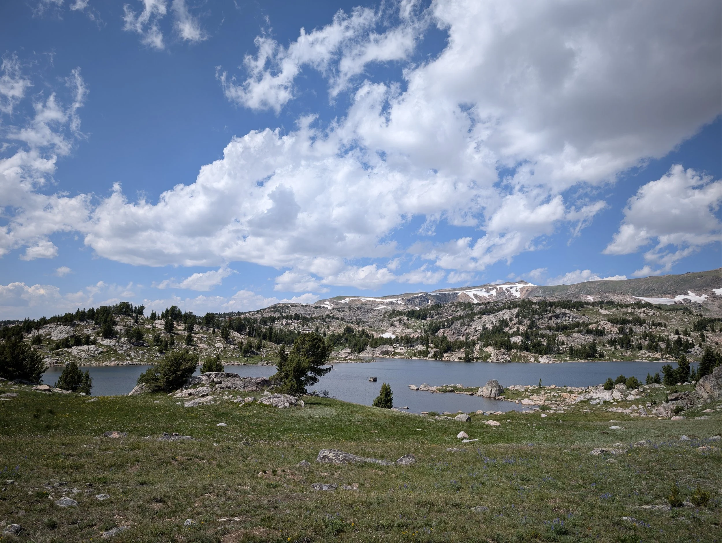
Snyder Lake
The trail quits at the end of the pond. Everything past that is cross-country, up the valley to a 13-acre lake at 10,005 feet — 4.3 miles round trip from the Long Lake Trailhead.
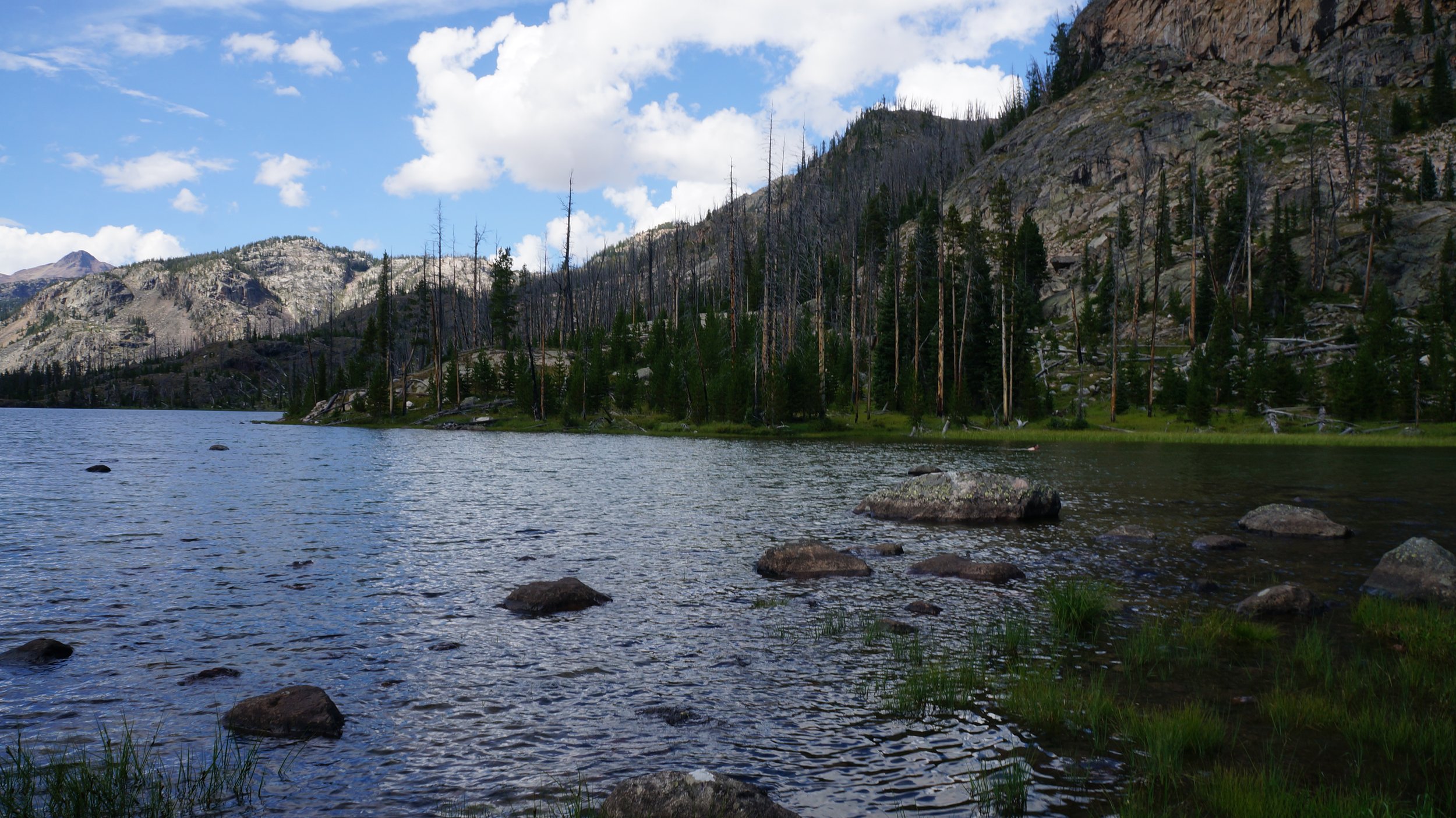
Curl Lake
Four and a quarter miles from the Clarks Fork Trailhead, all on trail. Thirty acres of brook trout water at 8,399 feet, in timber rather than open rock.
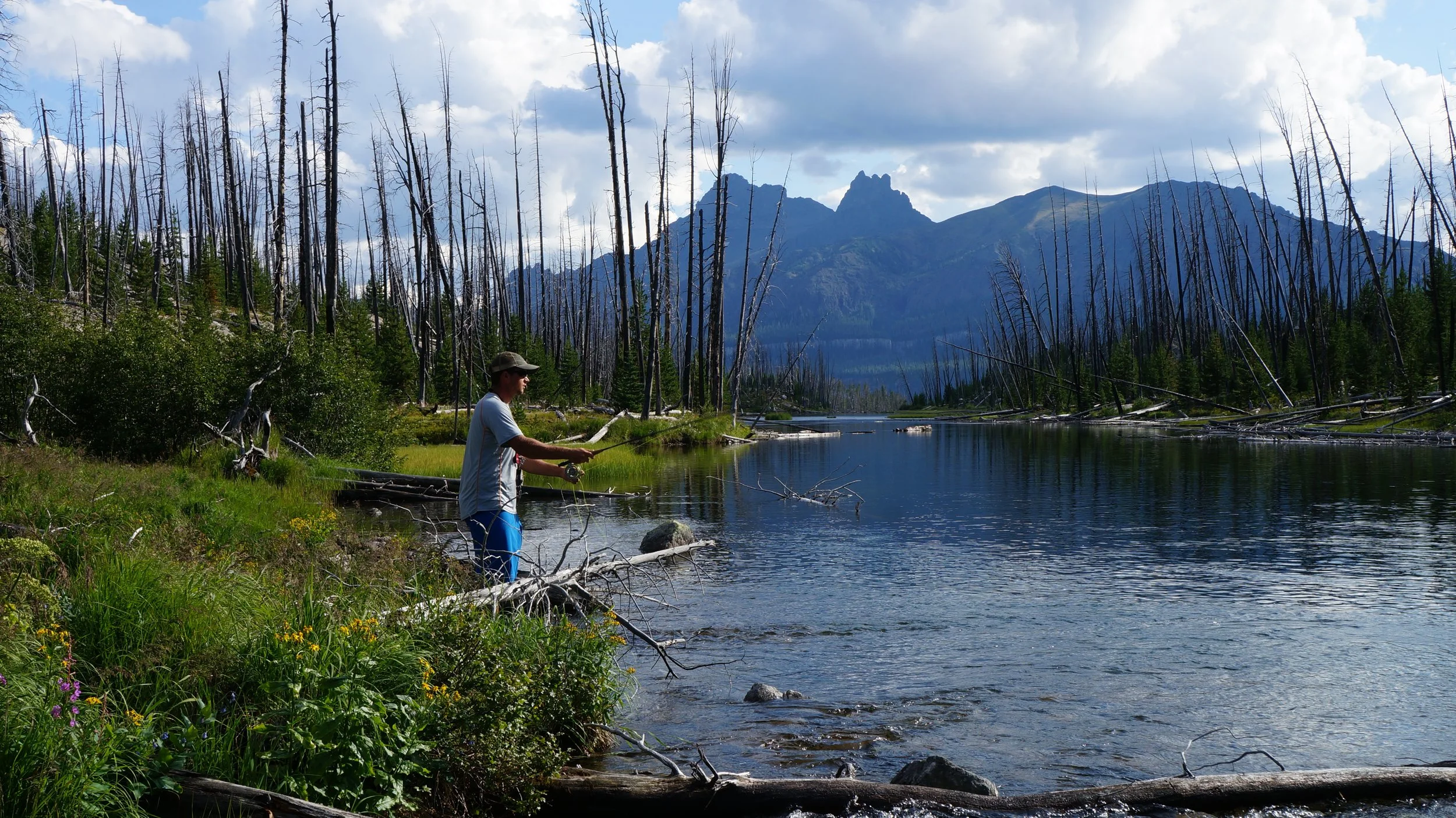
Broadwater Lake (Clarks Fork)
Five miles up the valley from the Clarks Fork Trailhead, on trail the whole way. Eighty three acres of brook trout and Yellowstone cutthroat water, the biggest lake in this stretch of the drainage.
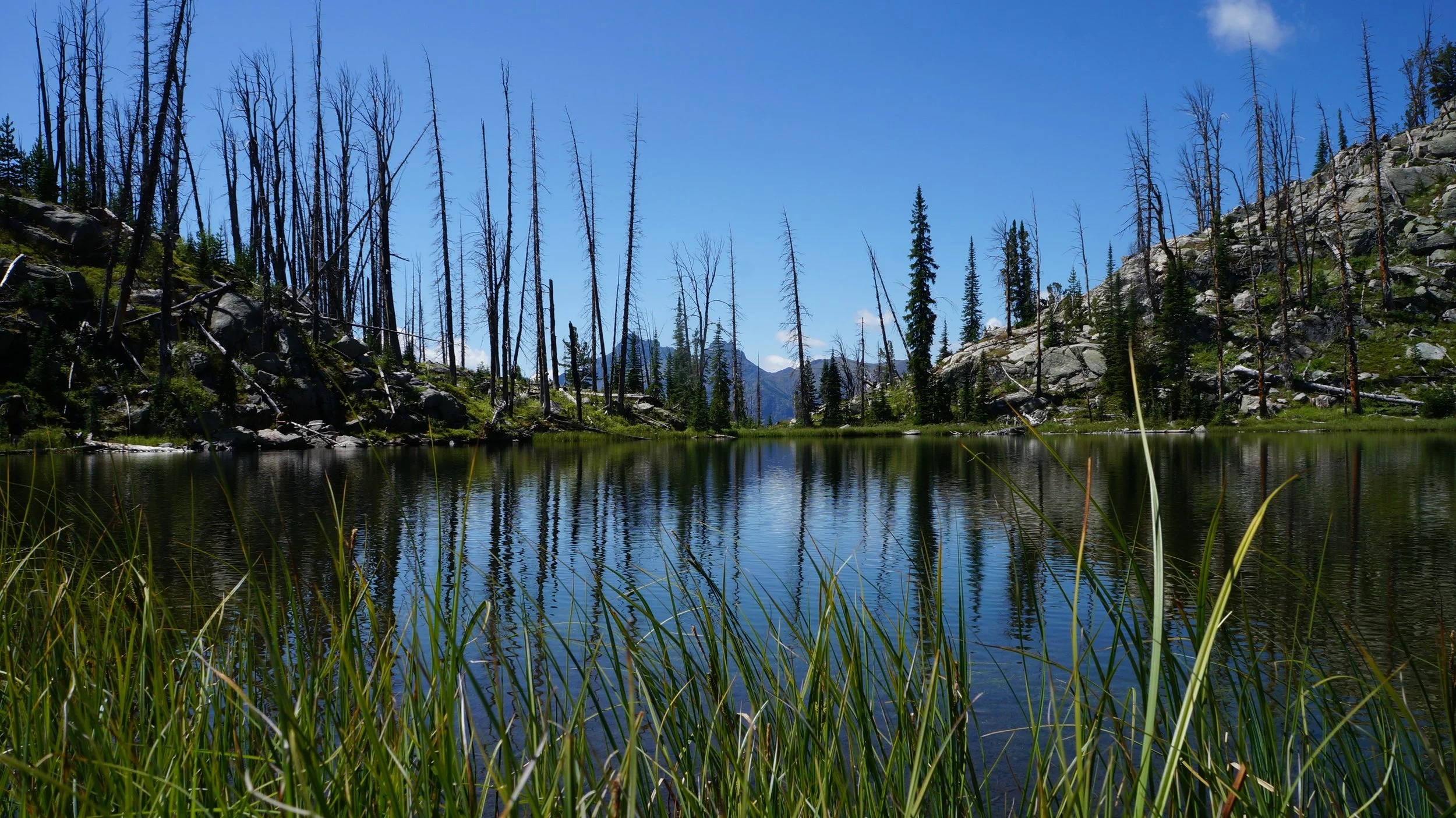
Dollar Lake
An acre of Yellowstone cutthroat water on the upper shelf at 8,971 feet, seven tenths of a mile southwest of Sedge across open forest benches with no trail.
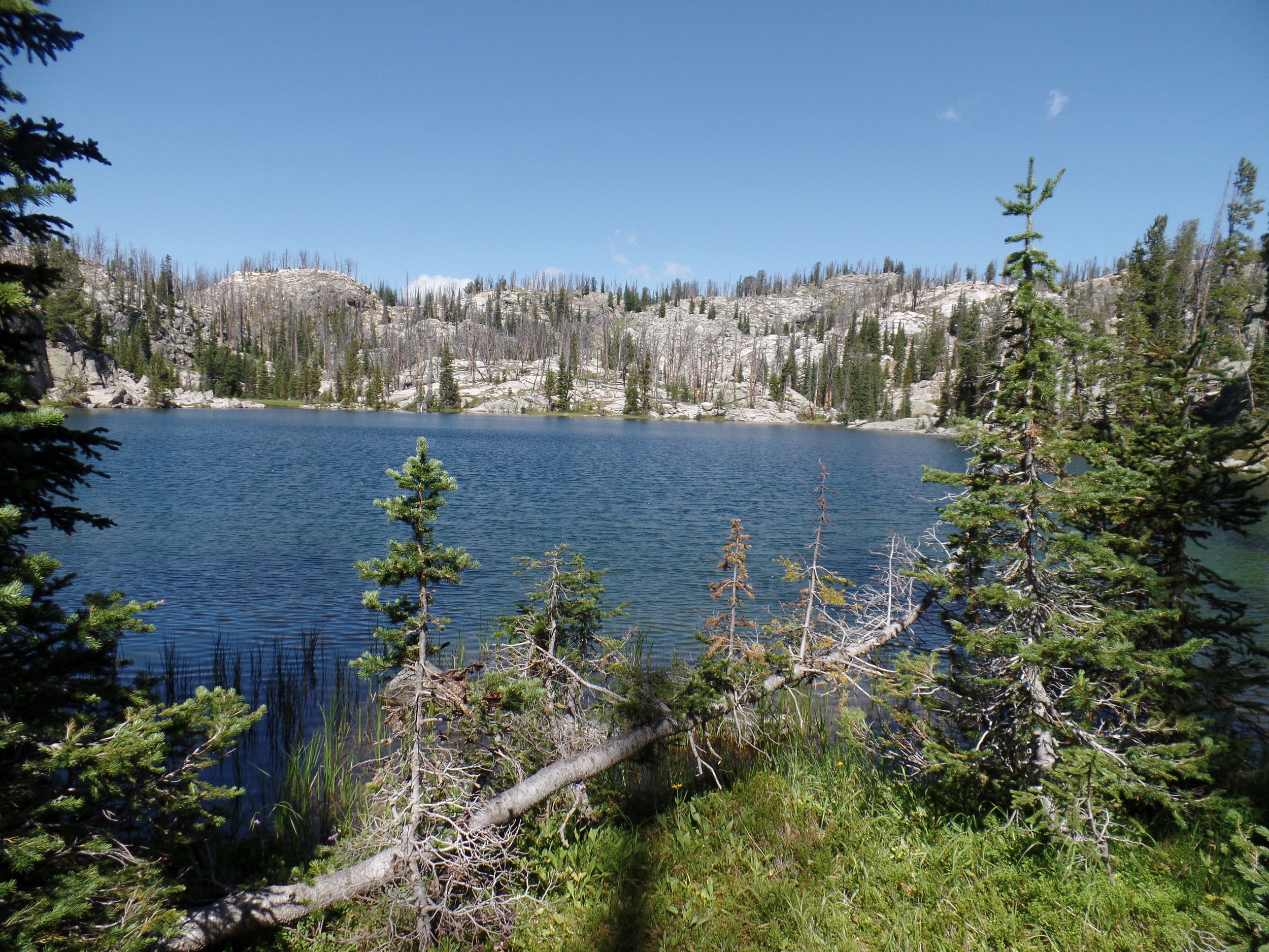
Sedge Lake
Under five hundred yards southwest of Aquarius across a flat timbered shelf, with no trail between them. Yellowstone cutthroat at 9,099 feet.
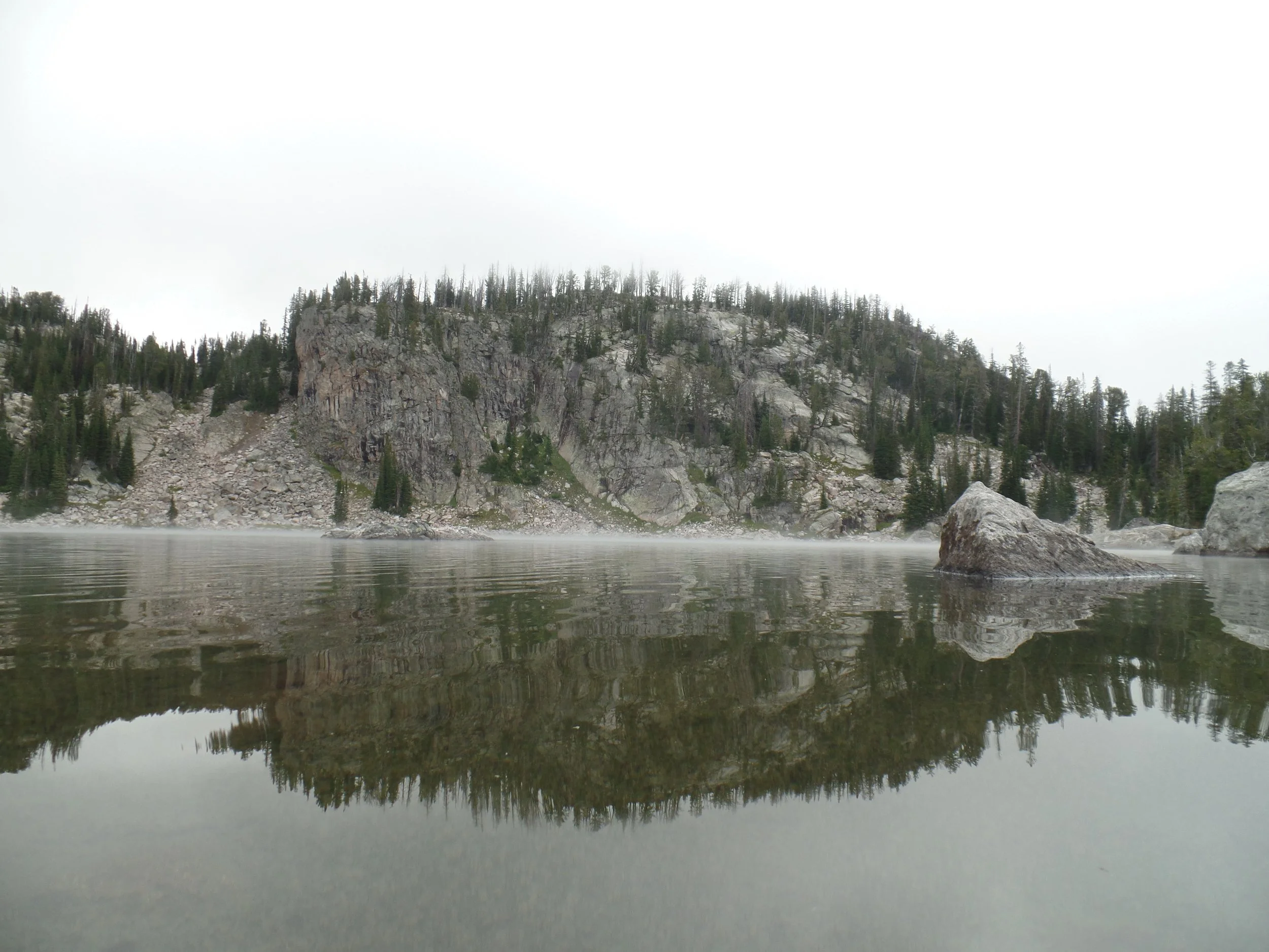
Aquarius Lake
Twenty-four acres of cutthroat water on the upper Clarks Fork shelf, with flat ground for camping. Six miles out, the last 2.75 off trail.
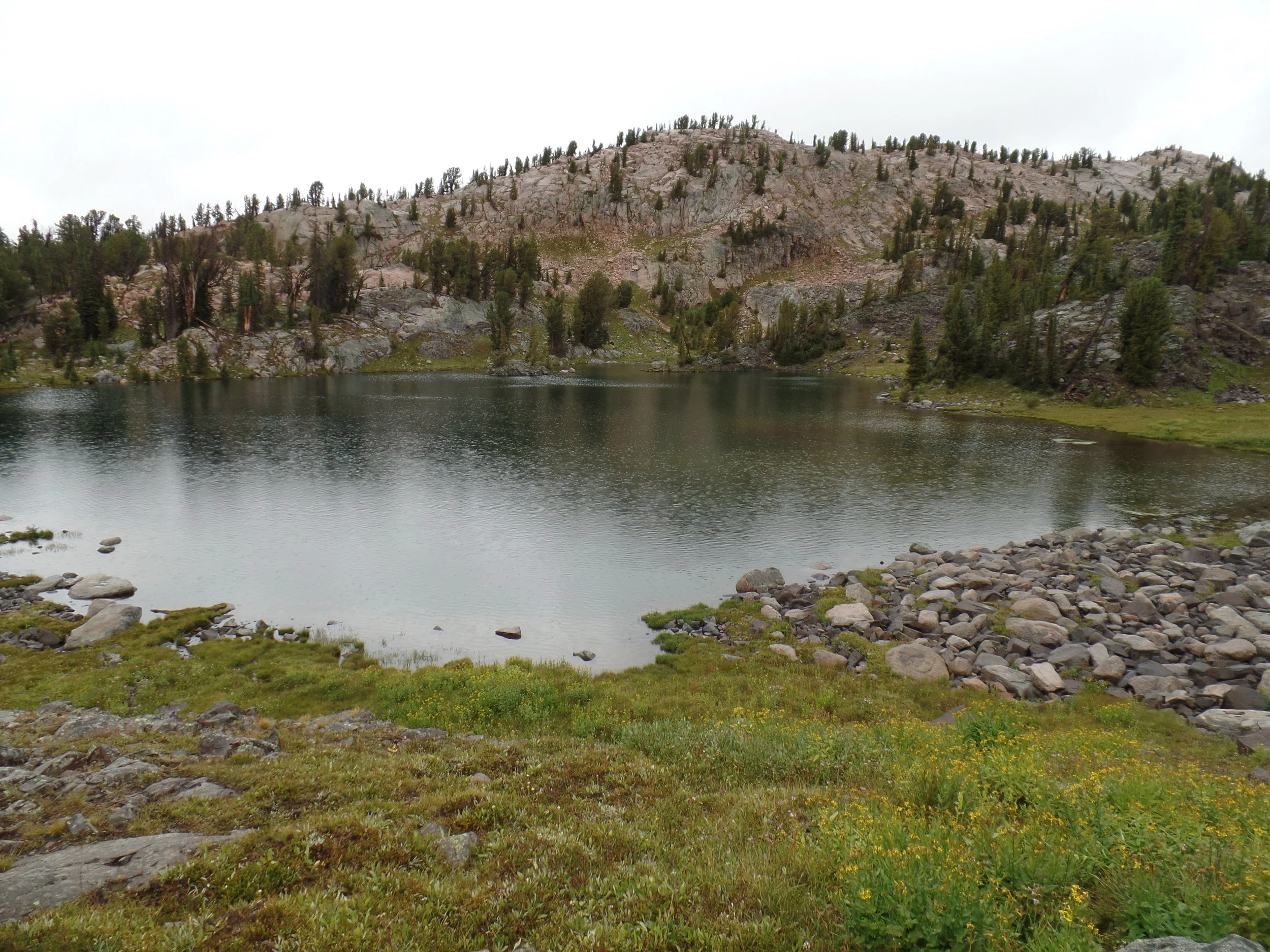
Little Molar Lake
No trail reaches this basin. Six tenths of a mile southeast of Boulder Lakes, after a drop and a re-climb, to three acres of water at 9,289 feet with no fish record either way.
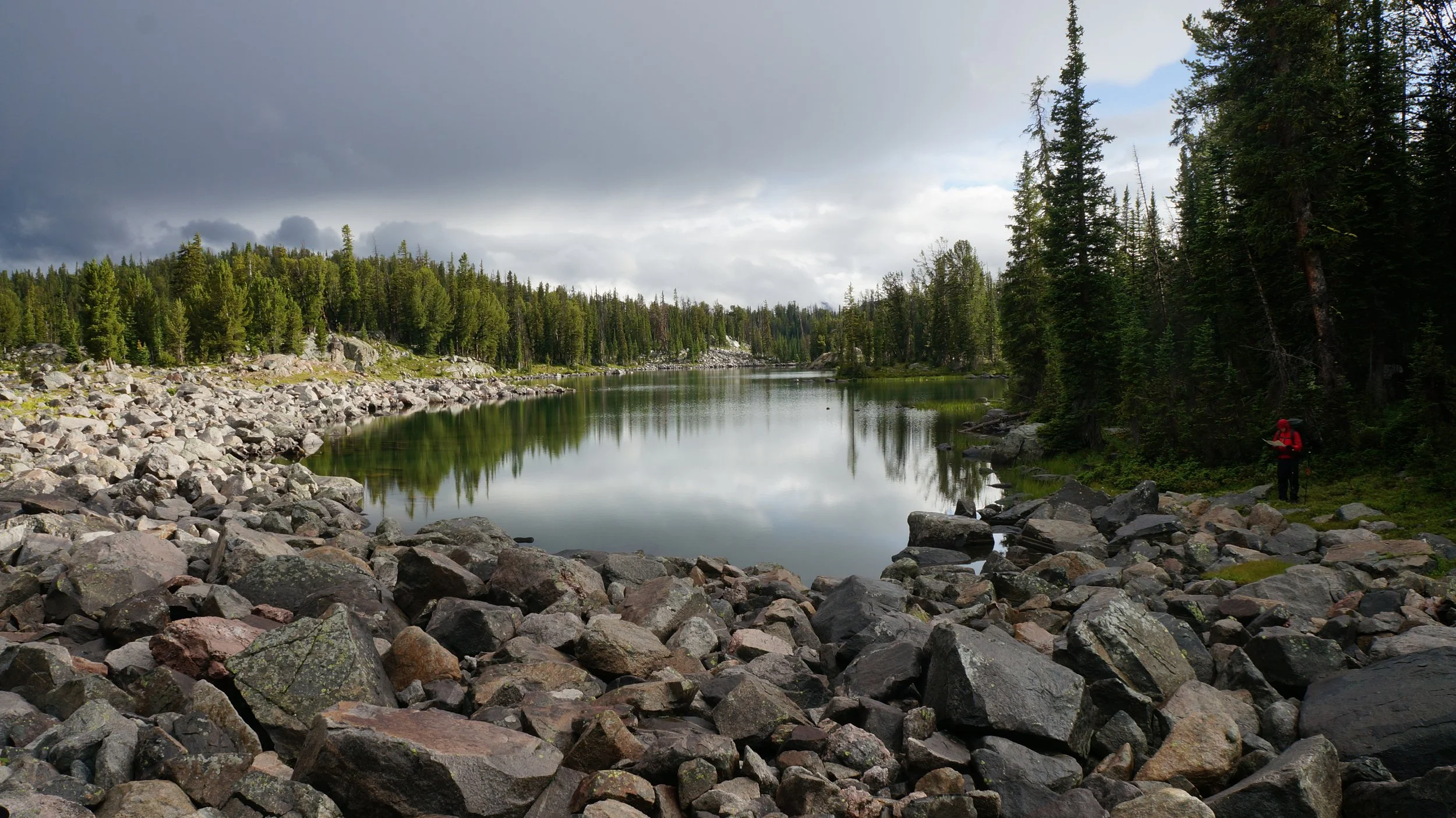
Boulder Lakes
The bottom of a 650 foot descent off the upper shelf, where talus gives way to timber. Two miles of walking to cover one, with no tread anywhere on it.