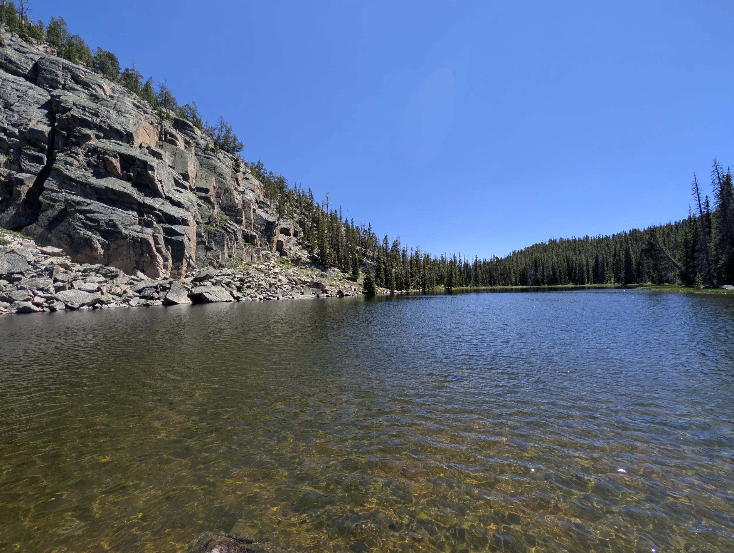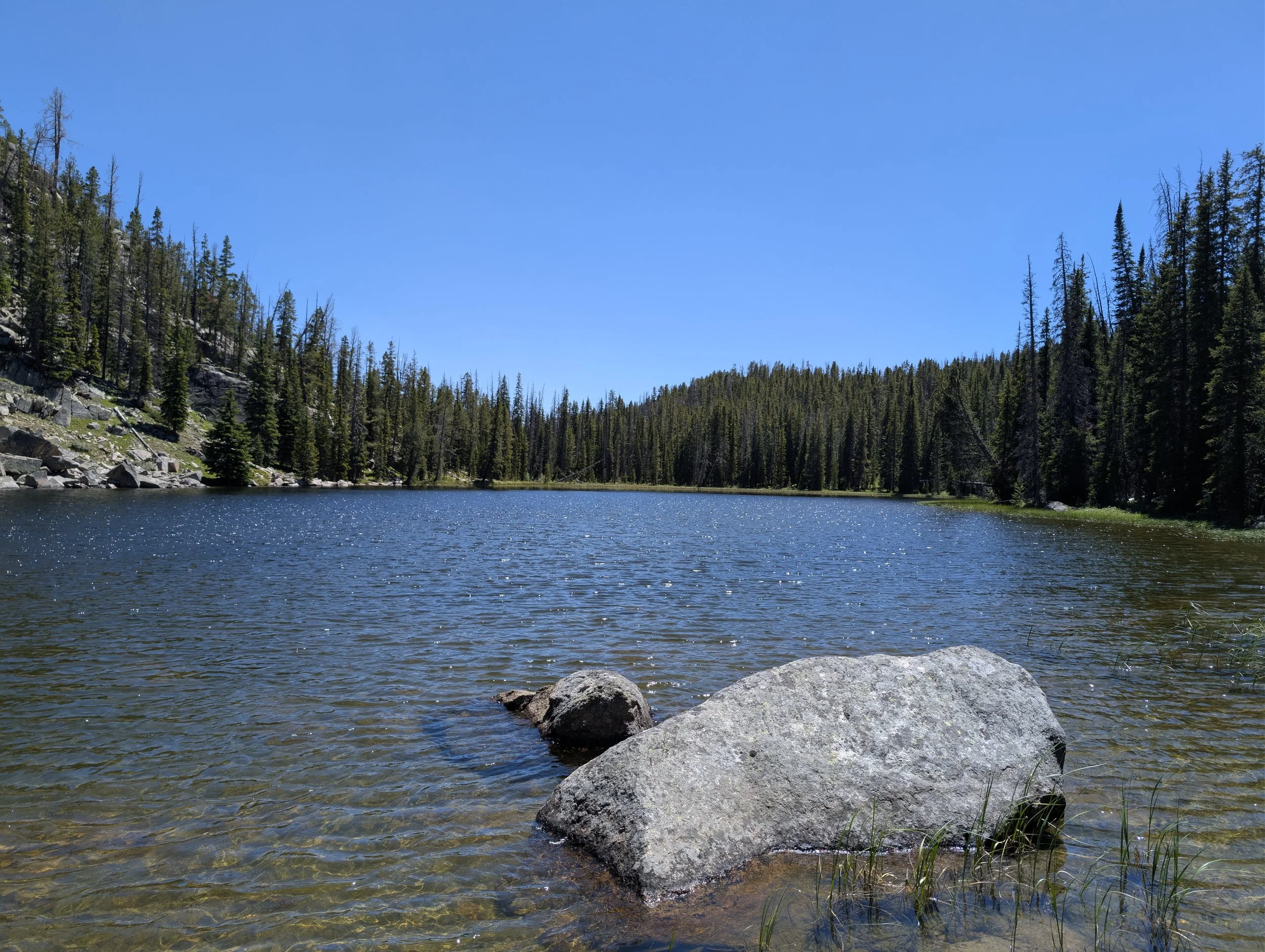
Sill Lake
Difficulty: Little Legs — Trip Type: Day Hike Distance: 1.5 miles round trip Elevation gain: ~200 ft Trailhead: Beartooth Lake outlet, off the Beartooth Highway (US-212) Bugs: Marshy, bring repellent Fish: Unconfirmed
Getting there
Park at the Beartooth Lake outlet. Trail starts at the parking area.
The hike
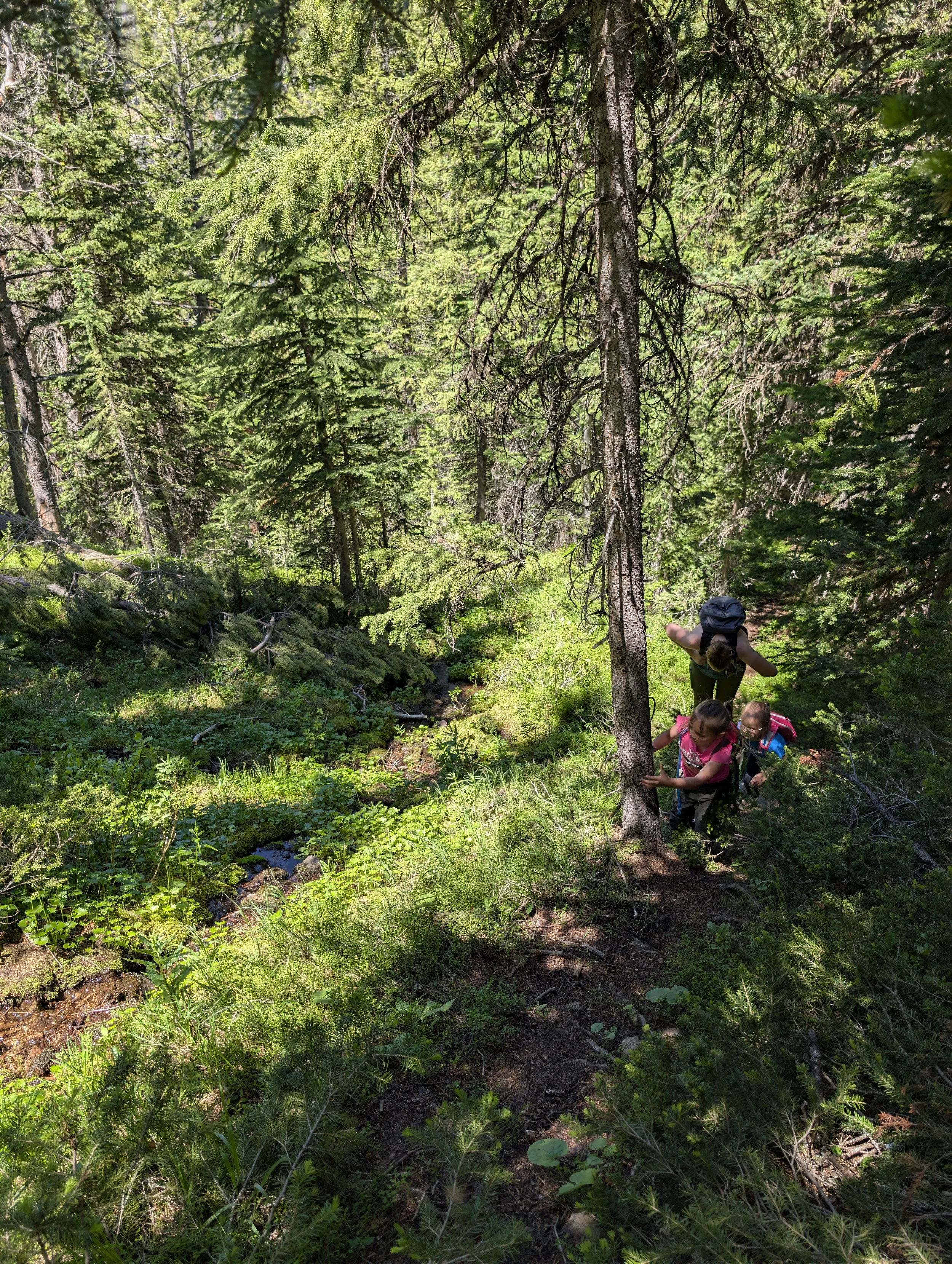
Trail climbs straight up from the parking lot, skirting the trees, rock face on the left. It's 200 vertical feet up, all the gain on this hike. Hard to find the trail for the first 50 vertical feet — after that it's easy to follow. Highway and lake sit at roughly the same elevation, so past the climb it's flat or downhill to the water.
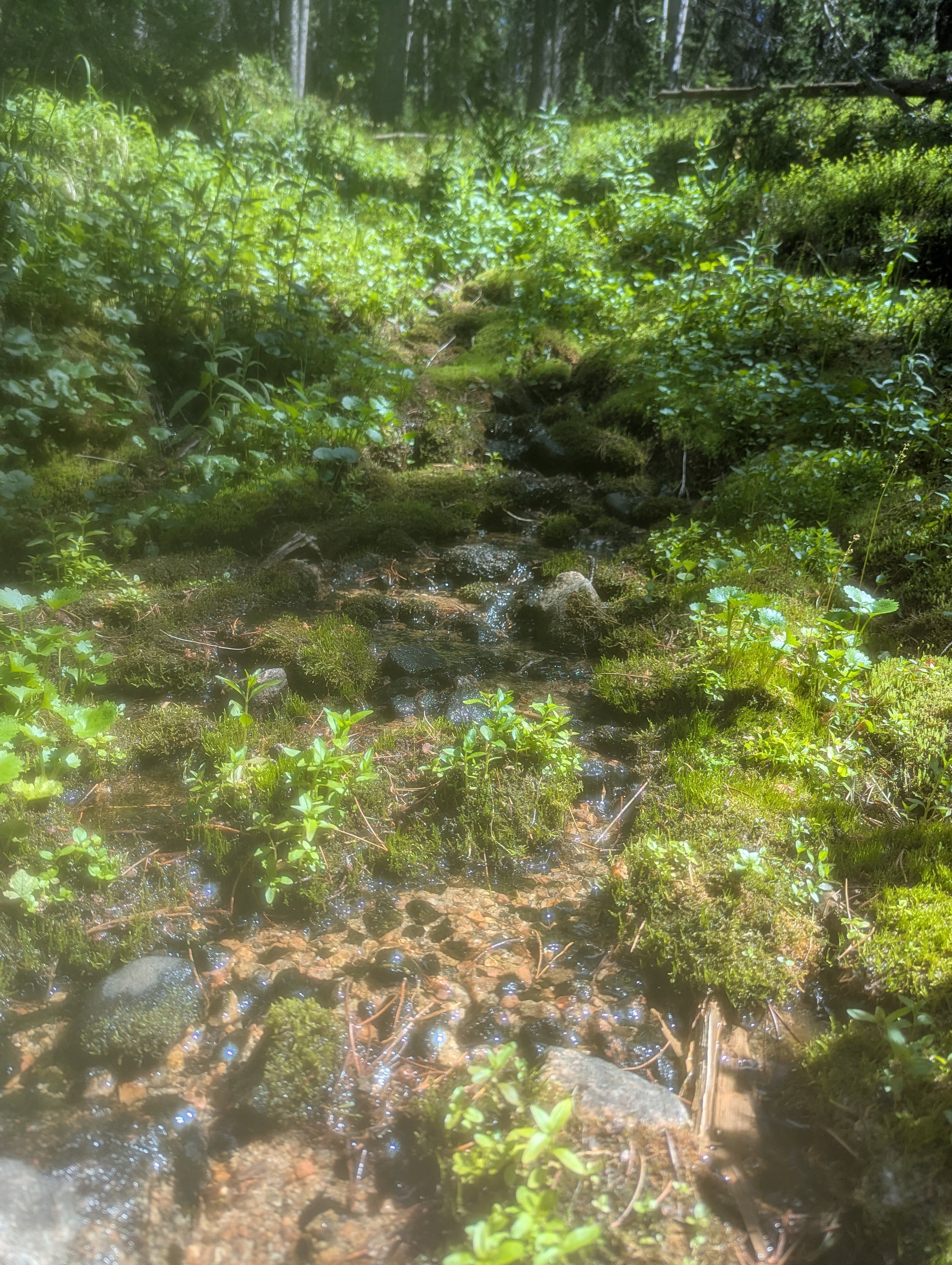
At the rock opening, trail bends toward the forest, hits a creek, follows it straight up.
Swampy meadow next. Trail skirts the edge the whole way across, never enters the trees, picks back up on the far side.
Near the lake, trail stays high then drops to the shore about halfway along the lake.
Once you see the lake, leave the trail and head straight for the inlet instead. Swampy at the inlet. Lake is marshy/swampy overall .
Highlights
Alpine meadow, dragonflies
Quiet lake, short walk off the highway
Tips & safety
Bugs: mosquitoes, manageable, bring repellent
Fishing: brush/swamp make bank access hard, wading likely, fish presence unconfirmed
Route-finding: trail disappears at the trailhead, the meadow crossing, and above the lake near rocks/downed trees. Not dangerous, just easy to lose.
Camping: few good sites — marshy, forested, uneven ground around the lake. Firewood plentiful.
Return: trail picks back up above the lake, stays high past the rocks and downed timber
Nearby
Beartooth Lake, Beartooth Falls